
IMAGES TAKEN NEAR TO
Strawberry Hill, GRIMSBY, DN37 0UY
Introduction
This page details the photographs taken nearby to Strawberry Hill, DN37 0UY by members of the Geograph project.
The Geograph project started in 2005 with the aim of publishing, organising and preserving representative images for every square kilometre of Great Britain, Ireland and the Isle of Man.

There are currently over 7.5m images from over14,400 individuals and you can help contribute to the project by visiting https://www.geograph.org.uk
Image Map
Images are licensed for reuse under creativecommons.org/licenses/by-sa/2.0
Notes
- Clicking on the map will re-center to the selected point.
- The higher the marker number, the further away the image location is from the centre of the postcode.
Image Listing (13 Images Found)
Images are licensed for reuse under creativecommons.org/licenses/by-sa/2.0
Image
Details
Distance
2
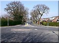
Bradley Road
At the junction of Barnoldby Road looking north. Again new housing has appeared in recent years.
Image: © John Beal
Taken: 2 Apr 2007
0.05 miles
3
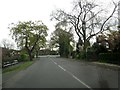
Approaching Waltham Road junction on Bradley Road
Image: © Martin Dawes
Taken: 29 Apr 2017
0.09 miles
4
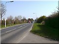
West Waltham
Barnoldby Road has seen a lot of changes during recent years, notably new housing areas to the left of the picture where previously there were open fields. This view looks down the road towards the centre of Waltham at the junction with Bradley Road.
Image: © John Beal
Taken: 2 Apr 2007
0.10 miles
5
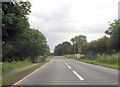
Waltham road approaching roundabout
Roundabout is Bradley Road turning
Image: © John Firth
Taken: 15 Jun 2012
0.10 miles
6
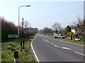
Outskirts?
Taken from the same location as Image this is still part of Waltham despite what the sign says. Barnoldby-le-Beck is still a good mile away.
Image: © John Beal
Taken: 2 Apr 2007
0.12 miles
7
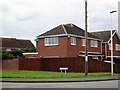
Junction of Barnoldby Road and Birkdale
A large housing development to the north of the main road. Waltham like many other places is now a very large village with all the development
Image: © Martin Dawes
Taken: 29 Apr 2017
0.16 miles
8
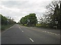
Leaving Waltham on Waltham Road
This is the western edge of Waltham, The road to the right is Willow Park which only has property's to the right fields to the left.
Image: © Martin Dawes
Taken: 29 Apr 2017
0.16 miles
9
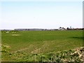
Bradley Road and Bradley Gairs
A distant view from Barnoldby Road. Bradley Gairs - the woods in the distance - is not part of Bradley Woods which are further north of this location.
Image: © John Beal
Taken: 2 Apr 2007
0.19 miles
