IMAGES TAKEN NEAR TO
Church Lane, GRIMSBY, DN36 5AH
Introduction
This page details the photographs taken nearby to Church Lane, DN36 5AH by members of the Geograph project.
The Geograph project started in 2005 with the aim of publishing, organising and preserving representative images for every square kilometre of Great Britain, Ireland and the Isle of Man.

There are currently over 7.5m images from over14,400 individuals and you can help contribute to the project by visiting https://www.geograph.org.uk
Image Map
Images are licensed for reuse under creativecommons.org/licenses/by-sa/2.0
Notes
- Clicking on the map will re-center to the selected point.
- The higher the marker number, the further away the image location is from the centre of the postcode.
Image Listing (36 Images Found)
Images are licensed for reuse under creativecommons.org/licenses/by-sa/2.0
Image
Details
Distance
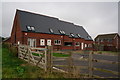
5
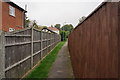
Footpath leading to Louth Road, Holton le Clay
Image: © Ian S
Taken: 5 Sep 2014
0.09 miles
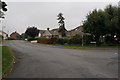
7
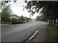
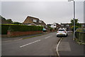
Louth Road Holton Le Clay
South from Holton Chippy. Phone box can be seen outside
Image: © John Firth
Taken: 11 Jul 2011
0.10 miles
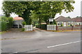
9
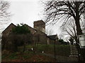
St. Peter's church, Holton le Clay
Sits on a low mound which marks the edge of the former coastal marsh.
Image: © Jonathan Thacker
Taken: 1 Feb 2018
0.11 miles