
IMAGES TAKEN NEAR TO
Walmsgate, GRIMSBY, DN33 1AY
Introduction
This page details the photographs taken nearby to Walmsgate, DN33 1AY by members of the Geograph project.
The Geograph project started in 2005 with the aim of publishing, organising and preserving representative images for every square kilometre of Great Britain, Ireland and the Isle of Man.

There are currently over 7.5m images from over14,400 individuals and you can help contribute to the project by visiting https://www.geograph.org.uk
Image Map
Images are licensed for reuse under creativecommons.org/licenses/by-sa/2.0
Notes
- Clicking on the map will re-center to the selected point.
- The higher the marker number, the further away the image location is from the centre of the postcode.
Image Listing (17 Images Found)
Images are licensed for reuse under creativecommons.org/licenses/by-sa/2.0
Image
Details
Distance
2
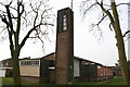
St.Mark's church, Nunsthorpe, Grimsby, Lincs.
1959-61 by E.Vernon Royle, St.Mark's church on Laceby Road is not the most inspiring building !
Image: © Richard Croft
Taken: 24 Jan 2006
0.11 miles
3
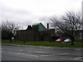
Laceby Road Methodist Church, Grimsby
Also called St. George's Methodist, this is the third chapel built for the congregation of this chapel-this one in the late 1950's after the chapel of 1847 in George St, Grimsby had been demolished to make way for a new shopping centre.
Image: © John Readman
Taken: 22 May 2005
0.13 miles
5
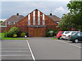
Grimsby Baptist Church
This church was opened in 1959, whilst the hall next door in 1957, and was used for worship until the church had been completed. However, these were new premises, built to replace the old church on the corner of Burgess Street and Victoria Street, in the old centre of Grimsby. This was built at a time when the population of the town of Grimsby was expanding around the area of the new dock which had been built in the 1850’s. These people needed a spiritual life, one provided by the Baptists, as well as a number of new non-conformist chapels.
In a corridor just outside the actual church is a war memorial that was originally placed in the old church in memory of the members of the congregation who had fallen in the Great War. The black lettering stands out clearly on the white marble. A laurel wreath is the only decoration
Image: © John Readman
Taken: 30 Jul 2005
0.19 miles
6
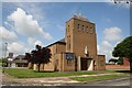
Catholic Church of St.Pius X
St Pius X Church was built by Reynolds & Scott in the 1950's and refurbished by Peter Langtry-Langton of Bradford in 1993. Four stained glass windows were installed later, symbolising earth, fire, air and water. A very special feature is the wood carving by Father Jim Davis in the Baptistery. It was made using an ancient Maori technique, in which the names of everyone who has been baptised both in the old St Peter's and St Pius X Church has been inscribed, as well as the names of all priests who have served there. The baptistery walls also tell the story of the church's connection with the sea and the fishing industry.
Image: © Richard Croft
Taken: 15 Jun 2006
0.20 miles
8
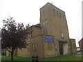
St. Pius X Roman Catholic church (2)
Dates from 1957 http://www.grasshopper-hosting.co.uk/Diocese/02_Admin/AHP/Final%20report%20%28PDF%29/Grimsby%20Deanery/Grimsby,%20St%20Pius%20X%28NXPowerLite%29.pdf
Image: © Jonathan Thacker
Taken: 24 Oct 2012
0.22 miles
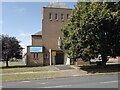
10
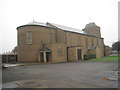
St. Pius X Roman Catholic church
Dates from 1957 http://www.grasshopper-hosting.co.uk/Diocese/02_Admin/AHP/Final%20report%20%28PDF%29/Grimsby%20Deanery/Grimsby,%20St%20Pius%20X%28NXPowerLite%29.pdf
Image: © Jonathan Thacker
Taken: 24 Oct 2012
0.22 miles