
IMAGES TAKEN NEAR TO
Top Street, RETFORD, DN22 9DB
Introduction
This page details the photographs taken nearby to Top Street, DN22 9DB by members of the Geograph project.
The Geograph project started in 2005 with the aim of publishing, organising and preserving representative images for every square kilometre of Great Britain, Ireland and the Isle of Man.

There are currently over 7.5m images from over14,400 individuals and you can help contribute to the project by visiting https://www.geograph.org.uk
Image Map
Images are licensed for reuse under creativecommons.org/licenses/by-sa/2.0
Notes
- Clicking on the map will re-center to the selected point.
- The higher the marker number, the further away the image location is from the centre of the postcode.
Image Listing (98 Images Found)
Images are licensed for reuse under creativecommons.org/licenses/by-sa/2.0
Image
Details
Distance
1
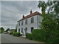
"The Old Plough", North Wheatley
Once a public house but now a private residence
Image: © Neil Theasby
Taken: 4 Jun 2021
0.04 miles
2
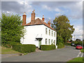
The Old Plough
Former public house, dated 1821, already converted to private use by the time of listing in 1985. Listed Grade II.
Image: © Alan Murray-Rust
Taken: 28 Sep 2014
0.04 miles
3
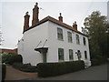
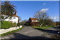
The Old Plough, Top Street
Former public house. http://www.britishlistedbuildings.co.uk/en-410550-the-plough-inn-north-wheatley-nottingham
Image: © Jonathan Thacker
Taken: 19 Oct 2012
0.04 miles
4
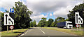
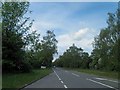
Lay by and lane restriction ahead
South Wheatley bypass
Image: © John Firth
Taken: 9 Jul 2015
0.05 miles
7
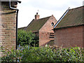
Pigeoncote at Plum Tree Farm
One of a group of farm buildings attached to Plum Tree Farm, Listed Grade II. The pigeoncote is part of the earlier building period, dating from the late 18th century.
Image: © Alan Murray-Rust
Taken: 28 Sep 2014
0.07 miles
8
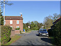
Top of Top Street, North Wheatley
This was the main Retford to Gainsborough road until the building of the bypass in the background around 1950.
There is a flush bracket bench mark http://www.geograph.org.uk/photo/4235348 on the side of the house by the blue bin.
Image: © Alan Murray-Rust
Taken: 4 Nov 2014
0.08 miles
9
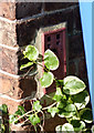
Flush bracket bench mark 2806, Corner House, North Wheatley
At some stage it has been painted red. Partly obscured by vegetation and wheelie bin. See http://www.geograph.org.uk/photo/4235345 for location.
Image: © Alan Murray-Rust
Taken: 4 Nov 2014
0.08 miles
10
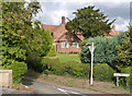
Plum Tree Farmhouse
Mid 18th century brick farmhouse, Listed Grade II.
Image: © Alan Murray-Rust
Taken: 28 Sep 2014
0.08 miles