IMAGES TAKEN NEAR TO
Clayworth, RETFORD, DN22 9AW
Introduction
This page details the photographs taken nearby to DN22 9AW by members of the Geograph project.
The Geograph project started in 2005 with the aim of publishing, organising and preserving representative images for every square kilometre of Great Britain, Ireland and the Isle of Man.

There are currently over 7.5m images from over14,400 individuals and you can help contribute to the project by visiting https://www.geograph.org.uk
Image Map (Loading...)


Getting Data...Please wait
Leaflet Map data © OpenStreetMap
Images are licensed for reuse under creativecommons.org/licenses/by-sa/2.0
Notes
- Clicking on the map will re-center to the selected point.
- The higher the marker number, the further away the image location is from the centre of the postcode.
Image Listing (8 Images Found)
Images are licensed for reuse under creativecommons.org/licenses/by-sa/2.0
Image
Details
Distance
1
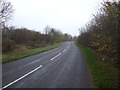
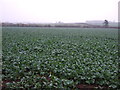
Highfield Farm
Toft Dyke Lane continues to Highfield Farm but is not a public right of way.
Image: © Jonathan Thacker
Taken: 27 Dec 2011
0.04 miles
2
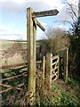
Tired Fingerpost and Gate
This old waymarker has seen better days.
Image: © Jonathan Clitheroe
Taken: 23 Feb 2016
0.13 miles
3

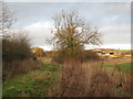
The bridleway to Clayworth Woodhouse
Near Highfield Farm.
Image: © Jonathan Thacker
Taken: 27 Dec 2011
0.14 miles

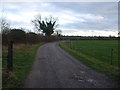
7
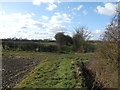
Track and Path Crossroads near Highfield Farm
Image: © Jonathan Clitheroe
Taken: 23 Feb 2016
0.19 miles