
IMAGES TAKEN NEAR TO
Holdenby Close, RETFORD, DN22 6UA
Introduction
This page details the photographs taken nearby to Holdenby Close, DN22 6UA by members of the Geograph project.
The Geograph project started in 2005 with the aim of publishing, organising and preserving representative images for every square kilometre of Great Britain, Ireland and the Isle of Man.

There are currently over 7.5m images from over14,400 individuals and you can help contribute to the project by visiting https://www.geograph.org.uk
Image Map
Images are licensed for reuse under creativecommons.org/licenses/by-sa/2.0
Notes
- Clicking on the map will re-center to the selected point.
- The higher the marker number, the further away the image location is from the centre of the postcode.
Image Listing (14 Images Found)
Images are licensed for reuse under creativecommons.org/licenses/by-sa/2.0
Image
Details
Distance
1
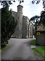
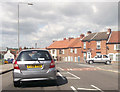
Church Behind Trees
St Saviours Church in Retford is secreted behind a wall of trees and just shows its interesting west end tower.
Image: © Michael Patterson
Taken: 2 Jun 2006
0.10 miles
7
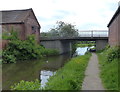
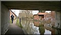
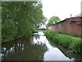
Leverton Road Bridge No 58
Crossing the Chesterfield Canal in the Balk Field area of Retford.
Image: © Mat Fascione
Taken: 28 May 2016
0.20 miles
8
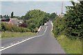
Slow 30 mph
The way into Retford from Leverton , here the road crosses the Chesterfield canal.
Image: © roger geach
Taken: 16 Jun 2008
0.21 miles
9
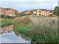
New houses on Brixworth Way
Seen from the Chesterfield Canal.
Image: © Christine Johnstone
Taken: 13 Oct 2011
0.22 miles
10
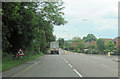
A620 east at junction with Welham Grove, Retford
Image: © John Firth
Taken: 12 Jun 2012
0.22 miles