
IMAGES TAKEN NEAR TO
Old Walled Gardens, RETFORD, DN22 0FA
Introduction
This page details the photographs taken nearby to Old Walled Gardens, DN22 0FA by members of the Geograph project.
The Geograph project started in 2005 with the aim of publishing, organising and preserving representative images for every square kilometre of Great Britain, Ireland and the Isle of Man.

There are currently over 7.5m images from over14,400 individuals and you can help contribute to the project by visiting https://www.geograph.org.uk
Image Map
Images are licensed for reuse under creativecommons.org/licenses/by-sa/2.0
Notes
- Clicking on the map will re-center to the selected point.
- The higher the marker number, the further away the image location is from the centre of the postcode.
Image Listing (40 Images Found)
Images are licensed for reuse under creativecommons.org/licenses/by-sa/2.0
Image
Details
Distance
1
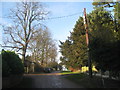
Grove Drive
The beginning of several paths leading from Grove.
Image: © Jonathan Thacker
Taken: 4 Jan 2013
0.09 miles
3
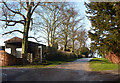
Tree lined track at Grove
The footpath off left leads down to the church.
Image: © Andrew Hill
Taken: 28 Dec 2009
0.10 miles
5
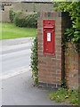
Grove postbox ref DN22 37
Early GR wall box with the cipher above the posting slot.
Image: © Alan Murray-Rust
Taken: 15 Aug 2014
0.10 miles
6

Grove
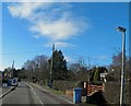
The main street running through the village of Grove
Image: © John Poyser
Taken: 9 Aug 2007
0.10 miles
9
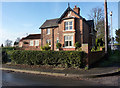
A house at Grove
One of the houses lining the lane up the hill.
Image: © Andrew Hill
Taken: 28 Dec 2009
0.12 miles
10
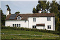
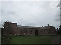
School House
Former school house seen from St.Helen's churchyard
Image: © Richard Croft
Taken: 1 Sep 2010
0.13 miles