
IMAGES TAKEN NEAR TO
Arrandale, GAINSBOROUGH, DN21 3BH
Introduction
This page details the photographs taken nearby to Arrandale, DN21 3BH by members of the Geograph project.
The Geograph project started in 2005 with the aim of publishing, organising and preserving representative images for every square kilometre of Great Britain, Ireland and the Isle of Man.

There are currently over 7.5m images from over14,400 individuals and you can help contribute to the project by visiting https://www.geograph.org.uk
Image Map
Images are licensed for reuse under creativecommons.org/licenses/by-sa/2.0
Notes
- Clicking on the map will re-center to the selected point.
- The higher the marker number, the further away the image location is from the centre of the postcode.
Image Listing (18 Images Found)
Images are licensed for reuse under creativecommons.org/licenses/by-sa/2.0
Image
Details
Distance
1
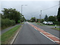
Messingham Road (A159), Scotter
Heading north east.
Image: © JThomas
Taken: 20 Sep 2014
0.08 miles
2
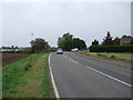
A bend in North Moor Road
Heading north towards Scunthorpe.
Image: © JThomas
Taken: 20 Sep 2014
0.14 miles
3
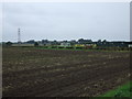
Farmland and football field
Off North Moor Road.
Image: © JThomas
Taken: 20 Sep 2014
0.15 miles
4
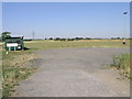
Scotter United
Scotter United were formed in 1894 and in the intervening century or so they have built up their facilities to include a green cabin and the lamppost.
Image: © Michael Patterson
Taken: 19 Jul 2006
0.18 miles
6
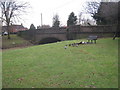
Ducks and the bridge over the River Eau at Scotter
There are signs requesting that the ducks aren't fed but they clearly are as this flock had just discovered something very tasty.
Image: © Jonathan Thacker
Taken: 12 Jan 2011
0.19 miles
7
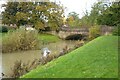
The River Eau
The River Eau, pronounced 'E', in the village of Scotter.
Image: © Philip Halling
Taken: 5 Nov 2023
0.19 miles
8
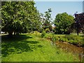
The River Eau flowing slowly through Scotter
Image: © Graham Hogg
Taken: 24 Jun 2020
0.21 miles
9
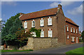
Manor House, Scotter
At the junction of Riverside and Kirton Road
Image: © Paul Harrop
Taken: 19 Sep 2008
0.22 miles
10
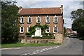
The Old Manor House
Handome early 18th century grade II* listed Manor House by the river at Scotter.
A 4-bay rear wing has the datestone 'Anno Mundi 5710' .... 5710 years after The Creation, re-calculated as 1706
Image: © Richard Croft
Taken: 11 Aug 2009
0.22 miles