IMAGES TAKEN NEAR TO
Rowan Close, BARROW-UPON-HUMBER, DN19 7SL
Introduction
This page details the photographs taken nearby to Rowan Close, DN19 7SL by members of the Geograph project.
The Geograph project started in 2005 with the aim of publishing, organising and preserving representative images for every square kilometre of Great Britain, Ireland and the Isle of Man.

There are currently over 7.5m images from over14,400 individuals and you can help contribute to the project by visiting https://www.geograph.org.uk
Image Map
Images are licensed for reuse under creativecommons.org/licenses/by-sa/2.0
Notes
- Clicking on the map will re-center to the selected point.
- The higher the marker number, the further away the image location is from the centre of the postcode.
Image Listing (47 Images Found)
Images are licensed for reuse under creativecommons.org/licenses/by-sa/2.0
Image
Details
Distance
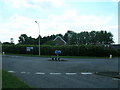
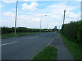
2
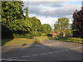
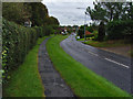
Bend in the road
The A1077 makes many changes in direction as it passes through Barrow upon Humber.
Image: © Jonathan Thacker
Taken: 15 Aug 2010
0.10 miles
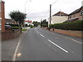
8
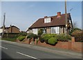
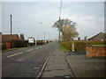
Dormer bungalow in Barrow-upon-Humber
On Barton Lane
Image: © Neil Theasby
Taken: 12 Mar 2016
0.22 miles
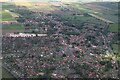
9
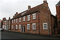
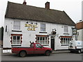
Papist Hall, High Street
A grade II listed building dating from late C17 and one of the oldest buildings in the village
Image: © Graham Hogg
Taken: 16 Mar 2015
0.22 miles