IMAGES TAKEN NEAR TO
Fairfield Road, SCUNTHORPE, DN15 8DQ
Introduction
This page details the photographs taken nearby to Fairfield Road, DN15 8DQ by members of the Geograph project.
The Geograph project started in 2005 with the aim of publishing, organising and preserving representative images for every square kilometre of Great Britain, Ireland and the Isle of Man.

There are currently over 7.5m images from over14,400 individuals and you can help contribute to the project by visiting https://www.geograph.org.uk
Image Map
Images are licensed for reuse under creativecommons.org/licenses/by-sa/2.0
Notes
- Clicking on the map will re-center to the selected point.
- The higher the marker number, the further away the image location is from the centre of the postcode.
Image Listing (20 Images Found)
Images are licensed for reuse under creativecommons.org/licenses/by-sa/2.0
Image
Details
Distance
1
The eastern end of Ferry Road West
Image: © Jonathan Thacker
Taken: 13 Jan 2014
0.08 miles
4
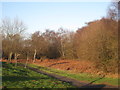
Footpath alongside Luneburg Way
Before recent housing developments scrub like this was typical of the western fringes of Scunthorpe.
Image: © Jonathan Thacker
Taken: 13 Jan 2014
0.12 miles
5
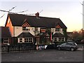
Warren Lodge
A large pub and restaurant in north west Scunthorpe.
Image: © Graham Hogg
Taken: 28 Nov 2016
0.12 miles
6
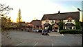
Warren Lodge, a Flaming Grill at sunset
Image: © Chris Morgan
Taken: 28 Nov 2016
0.13 miles
7
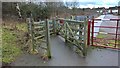
Gateway leading to Ferry Road, Scunthorpe
Image: © Chris Morgan
Taken: 23 Jan 2018
0.16 miles
8
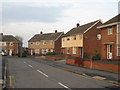
Holmfirth Road
A typical part of the 1960's Berkeley Estate. Most of the streets are named after Yorkshire towns.
Image: © Jonathan Thacker
Taken: 9 Feb 2011
0.17 miles
9
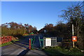
The Trent Valley Way entering Atkinson's Warren
Image: © Tim Heaton
Taken: 15 Jan 2016
0.18 miles