
IMAGES TAKEN NEAR TO
Soss Lane, DONCASTER, DN10 4DQ
Introduction
This page details the photographs taken nearby to Soss Lane, DN10 4DQ by members of the Geograph project.
The Geograph project started in 2005 with the aim of publishing, organising and preserving representative images for every square kilometre of Great Britain, Ireland and the Isle of Man.

There are currently over 7.5m images from over14,400 individuals and you can help contribute to the project by visiting https://www.geograph.org.uk
Image Map
Images are licensed for reuse under creativecommons.org/licenses/by-sa/2.0
Notes
- Clicking on the map will re-center to the selected point.
- The higher the marker number, the further away the image location is from the centre of the postcode.
Image Listing (66 Images Found)
Images are licensed for reuse under creativecommons.org/licenses/by-sa/2.0
Image
Details
Distance
2
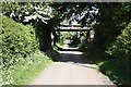
Soss Lane
Railway bridge on Soss Lane at Misterton
Image: © Richard Croft
Taken: 12 May 2009
0.04 miles
3
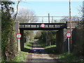
Soss Lane Bridge
The height warnings are repeated for traffic coming in the opposite direction, although you would have had to have come through from this side in the first place!
Image: © Alan Murray-Rust
Taken: 31 Mar 2011
0.05 miles
4

Soss Lane
A peaceful lane (apart from the barking dogs).
Image: © Jonathan Thacker
Taken: 31 Dec 2011
0.07 miles
5

Misterton Soss pumping station
Former pumping station on the River Idle, to raise water to a sufficient height to flow into the River Trent
Image: © Richard Croft
Taken: 12 May 2009
0.15 miles
6
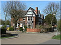
Rose Meadow Centre
Large Victorian house now converted into a residential care home.
Image: © Alan Murray-Rust
Taken: 31 Mar 2011
0.15 miles
7
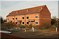
New homes
Building work has seemingly stopped on new homes off Station Road by the Chesterfield Canal
Image: © Richard Croft
Taken: 16 Feb 2012
0.15 miles
8
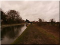
The Chesterfield Canal near Misterton
A muddy final stretch of the canal between Misterton and the terminus at West Stockwith.
Image: © Jonathan Clitheroe
Taken: 6 Feb 2016
0.15 miles
10
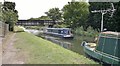
Bridge 45 on Chesterfield Canal
A railway bridge.
Image: © Chris Morgan
Taken: 3 Sep 2013
0.15 miles