IMAGES TAKEN NEAR TO
Queen Annes Drive, BEDALE, DL8 2EL
Introduction
This page details the photographs taken nearby to Queen Annes Drive, DL8 2EL by members of the Geograph project.
The Geograph project started in 2005 with the aim of publishing, organising and preserving representative images for every square kilometre of Great Britain, Ireland and the Isle of Man.

There are currently over 7.5m images from over14,400 individuals and you can help contribute to the project by visiting https://www.geograph.org.uk
Image Map
Images are licensed for reuse under creativecommons.org/licenses/by-sa/2.0
Notes
- Clicking on the map will re-center to the selected point.
- The higher the marker number, the further away the image location is from the centre of the postcode.
Image Listing (83 Images Found)
Images are licensed for reuse under creativecommons.org/licenses/by-sa/2.0
Image
Details
Distance
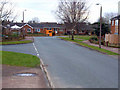
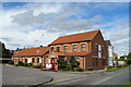
3
Gas leak at junction
Junction of Wycar, Burrill Road and Masham Road.
Image: © Roger Templeman
Taken: 22 Jul 2010
0.10 miles
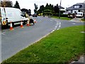
6
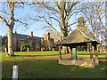
Bedale pump
On Wycar, with the New Grammar School on The Wynd in the background
Image: © Paul Harrop
Taken: 11 Jan 2017
0.12 miles
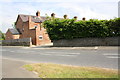
7
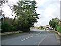
Grange Road, Bedale
Off Firby Road.
Image: © Christine Johnstone
Taken: 21 Sep 2010
0.13 miles
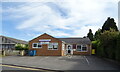
8
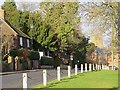
The Wynd, Bedale
Looking in the direction of the town centre at Wycar
Image: © Paul Harrop
Taken: 11 Jan 2017
0.13 miles
9
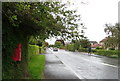
Masham Road (B6268), Bedale
Showing position of Postbox No. DL8 94.
See Image] for postbox.
Image: © JThomas
Taken: 5 Sep 2020
0.13 miles
10
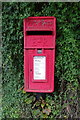
Elizabeth II postbox on Masham Road, Bedale
Postbox No. DL8 94.
See Image] for context.
Image: © JThomas
Taken: 5 Sep 2020
0.14 miles