
IMAGES TAKEN NEAR TO
CONSETT, DH8 9BQ
Introduction
This page details the photographs taken nearby to DH8 9BQ by members of the Geograph project.
The Geograph project started in 2005 with the aim of publishing, organising and preserving representative images for every square kilometre of Great Britain, Ireland and the Isle of Man.

There are currently over 7.5m images from over14,400 individuals and you can help contribute to the project by visiting https://www.geograph.org.uk
Image Map
Images are licensed for reuse under creativecommons.org/licenses/by-sa/2.0
Notes
- Clicking on the map will re-center to the selected point.
- The higher the marker number, the further away the image location is from the centre of the postcode.
Image Listing (12 Images Found)
Images are licensed for reuse under creativecommons.org/licenses/by-sa/2.0
Image
Details
Distance
2
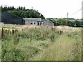
Farm buildings at South Snods Farm
The footpath running to the east of the farm is thoroughly overgrown and disused.
Image: © Oliver Dixon
Taken: 23 Aug 2021
0.00 miles
4
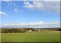
View of North and South Snods
Looking North across the fields to the two farms.
Image: © Robert Graham
Taken: 23 Jan 2012
0.12 miles
5
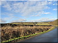
Looking North along the lane
View from Little Black Hedley North towards Snods Edge.
Image: © Robert Graham
Taken: 23 Jan 2012
0.19 miles
6
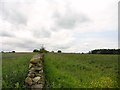
Looking up the field path
The path alongside the wall here runs up to the farm at Little Black Hedley, which can be seen in the distance.
Image: © Robert Graham
Taken: 13 Jun 2018
0.19 miles
7
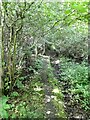
Track through the wood
Path from the derelict farm at Orchard Wood towards South Snods Farm. The map implies a regular farm drive, the reality is very different.
Image: © Oliver Dixon
Taken: 23 Aug 2021
0.19 miles
8
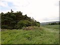
Corner of the wood west of Orchard Field
This small plantation is situated between South Snods farm and the ruins of Orchard Field. There is a field path running alongside the wood, but it is very hard to distinguish on the ground. On the right can be seen the Bridgehill area of Consett.
Image: © Robert Graham
Taken: 13 Jun 2018
0.19 miles
9
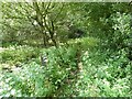
Track through the wood
Path from the derelict farm at Orchard Wood towards South Snods Farm. The map implies a regular farm drive, the reality is very different.
Image: © Oliver Dixon
Taken: 23 Aug 2021
0.22 miles
10
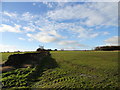
Little Black Hedley on the horizon
Looking back across the fields from the East
Image: © Robert Graham
Taken: 23 Jan 2012
0.22 miles