
IMAGES TAKEN NEAR TO
Tunstall Grove, CONSETT, DH8 6EN
Introduction
This page details the photographs taken nearby to Tunstall Grove, DH8 6EN by members of the Geograph project.
The Geograph project started in 2005 with the aim of publishing, organising and preserving representative images for every square kilometre of Great Britain, Ireland and the Isle of Man.

There are currently over 7.5m images from over14,400 individuals and you can help contribute to the project by visiting https://www.geograph.org.uk
Image Map
Images are licensed for reuse under creativecommons.org/licenses/by-sa/2.0
Notes
- Clicking on the map will re-center to the selected point.
- The higher the marker number, the further away the image location is from the centre of the postcode.
Image Listing (51 Images Found)
Images are licensed for reuse under creativecommons.org/licenses/by-sa/2.0
Image
Details
Distance
1
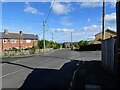
Pont Terrace, Leadgate
The Pont estate was built in the post WW2 period as council housing, on the north side of the existing village.
Image: © Robert Graham
Taken: 26 Sep 2022
0.03 miles
2
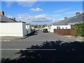
Watling Street Bungalows, Leadgate
These long streets of single storey terraces were built parallel to Watling Street, going down the bank. I think these were probably built by Consett Iron Company between the wars.
Image: © Robert Graham
Taken: 26 Sep 2022
0.10 miles
3
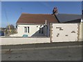
Cottage on Fourth Street, Watling Street Bungalows
Former miner's cottage.
Image: © Oliver Dixon
Taken: 2 Oct 2018
0.11 miles
4

View from Watling Bungalows, Leadgate
From the back of Fourth Street, looking north-east
Image: © Oliver Dixon
Taken: 21 Aug 2002
0.12 miles
5

Bungalow in Fourth Street
End of a terrace of former coal miners cottages on Fourth Street, Watling Bungalows, Leadgate.
Image: © Oliver Dixon
Taken: 29 Apr 2015
0.12 miles
6
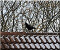
Rook on the roof
At Watling Street in Leadgate village. These birds are not such a common sight in the local villages as they used to be.
Image: © Robert Graham
Taken: 29 Nov 2021
0.13 miles
7
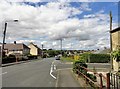
Watling Street, Leadgate
Looking north up this road through the village. It is the B6309 and here it follows the line of the old Roman road of Dere Street. Not Watling Street, despite the name.
Image: © Robert Graham
Taken: 9 Aug 2017
0.13 miles
8
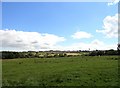
View from the road in front of Pont Bungalows
View across the valley to St Ives Road in Leadgate running along the horizon. The church of that name can be seen in the middle.
Image: © Robert Graham
Taken: 9 Aug 2017
0.15 miles
9
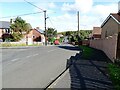
View down Tyne Avenue, Leadgate
Looking north down the bank. This estate, generally called The Pont locally, was built after WW2 I believe, as council housing.
Image: © Robert Graham
Taken: 26 Sep 2022
0.15 miles
10
View towards Bradley Cottages, County Durham
Taken on 22/03/2017, view towards Bradley Cottages and beyond.
Image: © Amanda JUDD
Taken: 22 Mar 2017
0.16 miles