IMAGES TAKEN NEAR TO
DH4 5JR
Introduction
This page details the photographs taken nearby to DH4 5JR by members of the Geograph project.
The Geograph project started in 2005 with the aim of publishing, organising and preserving representative images for every square kilometre of Great Britain, Ireland and the Isle of Man.

There are currently over 7.5m images from over14,400 individuals and you can help contribute to the project by visiting https://www.geograph.org.uk
Image Map
Images are licensed for reuse under creativecommons.org/licenses/by-sa/2.0
Notes
- Clicking on the map will re-center to the selected point.
- The higher the marker number, the further away the image location is from the centre of the postcode.
Image Listing (19 Images Found)
Images are licensed for reuse under creativecommons.org/licenses/by-sa/2.0
Image
Details
Distance
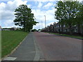
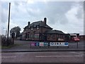
2
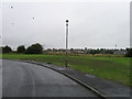
Site cleared, Beechwood Terrace, Sunniside
Image: © Alex McGregor
Taken: 23 Aug 2010
0.08 miles
3
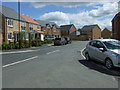
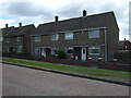
Beechwood Terrace
New housing off Coaley Lane.
Image: © JThomas
Taken: 28 May 2015
0.08 miles
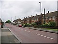
9
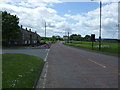
Sedgeletch Road, Burnside
Heading south west.
Image: © JThomas
Taken: 28 May 2015
0.17 miles