
IMAGES TAKEN NEAR TO
DURHAM, DH1 1TD
Introduction
This page details the photographs taken nearby to DH1 1TD by members of the Geograph project.
The Geograph project started in 2005 with the aim of publishing, organising and preserving representative images for every square kilometre of Great Britain, Ireland and the Isle of Man.

There are currently over 7.5m images from over14,400 individuals and you can help contribute to the project by visiting https://www.geograph.org.uk
Image Map
Images are licensed for reuse under creativecommons.org/licenses/by-sa/2.0
Notes
- Clicking on the map will re-center to the selected point.
- The higher the marker number, the further away the image location is from the centre of the postcode.
Image Listing (9 Images Found)
Images are licensed for reuse under creativecommons.org/licenses/by-sa/2.0
Image
Details
Distance
1
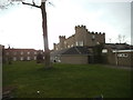
Ramside Hall
The view of Ramside Hall Hotel, Carrville, Durham.
Image: © Gordon Griffiths
Taken: 9 Mar 2014
0.01 miles

3
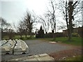
Ramside Gardens
The view of the Gardens of Ramside Hall Hotel, Carrville, Durham.
Image: © Gordon Griffiths
Taken: 9 Mar 2014
0.04 miles
5
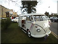
Wedding VW
The view at the Ramside Hall Hotel, Carrville, Durham.
Image: © Gordon Griffiths
Taken: 9 Mar 2014
0.05 miles
6
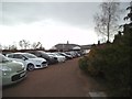
Ramside Golf Club
The view at Ramside Hall Hotel, Carrville, Durham.
Image: © Gordon Griffiths
Taken: 9 Mar 2014
0.10 miles
8
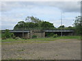
Railway bridge over the A690 at Carrville
Image: © Peter Robinson
Taken: 18 May 2011
0.23 miles
9
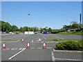
Belmont Junction railway station (site), County Durham
Opened in 1844 as "Belmont" by the Newcastle & Darlington Junction Railway, later to be part of the North Eastern Railway, on the line via Ferryhill and Leamside. This short-lived station station became "Belmont Junction" in 1852 but closed in 1857.
View north east across the line - left to Leamside and Newcastle, right to Ferryhill and Darlington. On the far left, the trees mark the former line to Durham Gilesgate. The station buildings were just to the right of this.
For more information, see http://www.disused-stations.org.uk/b/belmont_junction/index.shtml
Image: © Nigel Thompson
Taken: 29 May 2021
0.25 miles