
IMAGES TAKEN NEAR TO
Bowling Green Road, NEWTON STEWART, DG8 9SW
Introduction
This page details the photographs taken nearby to Bowling Green Road, DG8 9SW by members of the Geograph project.
The Geograph project started in 2005 with the aim of publishing, organising and preserving representative images for every square kilometre of Great Britain, Ireland and the Isle of Man.

There are currently over 7.5m images from over14,400 individuals and you can help contribute to the project by visiting https://www.geograph.org.uk
Image Map
Images are licensed for reuse under creativecommons.org/licenses/by-sa/2.0
Notes
- Clicking on the map will re-center to the selected point.
- The higher the marker number, the further away the image location is from the centre of the postcode.
Image Listing (221 Images Found)
Images are licensed for reuse under creativecommons.org/licenses/by-sa/2.0
Image
Details
Distance
1
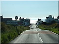
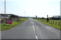
Welcome to Port William
The entrance to the town from Monreith House direction is spectacular, with the evening sun gleaming on Luce Bay. The Rhinns of Galloway are visible across the bay.
Image: © David Medcalf
Taken: 15 Jul 2006
0.06 miles
2
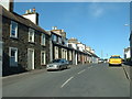
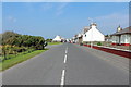
Cottages in Port William
Looking east, up the street that features in a couple of the other photos.
Image: © David Medcalf
Taken: 15 Jul 2006
0.06 miles
3
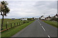
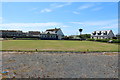
SWC300 arriving at Port William
SWC (south west coastal) a new devised circular route in south west Scotland.
Image: © Billy McCrorie
Taken: 14 Jun 2019
0.08 miles
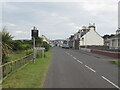
9
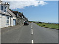
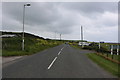
South Street, Port William
A747 leading to Monreith.
Image: © Billy McCrorie
Taken: 4 Jun 2012
0.09 miles
10
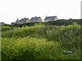
Port William
The A747 uses a raised beach while there are houses and farmland above a steep vegetated bank.
Image: © Richard Webb
Taken: 16 Jun 2022
0.10 miles