
IMAGES TAKEN NEAR TO
Isle Of Whithorn, NEWTON STEWART, DG8 8JA
Introduction
This page details the photographs taken nearby to DG8 8JA by members of the Geograph project.
The Geograph project started in 2005 with the aim of publishing, organising and preserving representative images for every square kilometre of Great Britain, Ireland and the Isle of Man.

There are currently over 7.5m images from over14,400 individuals and you can help contribute to the project by visiting https://www.geograph.org.uk
Image Map
Images are licensed for reuse under creativecommons.org/licenses/by-sa/2.0
Notes
- Clicking on the map will re-center to the selected point.
- The higher the marker number, the further away the image location is from the centre of the postcode.
Image Listing (10 Images Found)
Images are licensed for reuse under creativecommons.org/licenses/by-sa/2.0
Image
Details
Distance
1
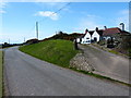
Cutcloy Cottages
Several cottages along this track have the same name, these being opposite the farm.
Image: © Andy Farrington
Taken: 13 Apr 2012
0.01 miles
2
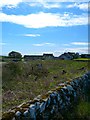
Cutcloy
View across fields, littered with the usual farm machinery surplus to requirements or just plain broken, towards the farm.
Image: © Andy Farrington
Taken: 13 Apr 2012
0.03 miles
3
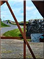
Cutcloy
This single track left of picture leads down to the Isle of Whithorn from the farm, an old rusted metal gate providing the frame for the shot.
Image: © Andy Farrington
Taken: 13 Apr 2012
0.04 miles
5
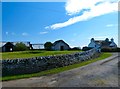
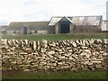
Cutcloy Farm
Farm at the end of a long track from the Isle of Whithorn.
Image: © Andy Farrington
Taken: 13 Apr 2012
0.06 miles
6
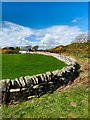
Rose Cottage
The cottage sits at the side of a track which leads across the moorland from Cutcloy Cottage to Tonderghie Cottages.
Image: © Andy Farrington
Taken: 13 Apr 2012
0.09 miles
7
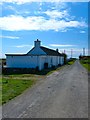
Cutcloy Cottage
Looking along the track towards Cutcloy Farm.
Image: © Andy Farrington
Taken: 13 Apr 2012
0.10 miles
8
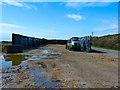
Low Stock
The winter stock of feed is getting low as silage is used up for the cattle.
Image: © Andy Farrington
Taken: 13 Apr 2012
0.19 miles
9
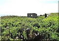
Derelict look-out shelter plus rubbish
This is a derelict look-out shelter from the Second World War. It is surrounded by rubbish. It stands near to the entrance to Burrow Head Caravan Park.
Image: © Ann Cook
Taken: 14 Sep 2009
0.23 miles
10
Exit Road from Burrowhead Holiday Village
Image: © Billy McCrorie
Taken: 6 Oct 2015
0.24 miles