
IMAGES TAKEN NEAR TO
Creetown, NEWTON STEWART, DG8 7DG
Introduction
This page details the photographs taken nearby to DG8 7DG by members of the Geograph project.
The Geograph project started in 2005 with the aim of publishing, organising and preserving representative images for every square kilometre of Great Britain, Ireland and the Isle of Man.

There are currently over 7.5m images from over14,400 individuals and you can help contribute to the project by visiting https://www.geograph.org.uk
Image Map
Images are licensed for reuse under creativecommons.org/licenses/by-sa/2.0
Notes
- Clicking on the map will re-center to the selected point.
- The higher the marker number, the further away the image location is from the centre of the postcode.
Image Listing (68 Images Found)
Images are licensed for reuse under creativecommons.org/licenses/by-sa/2.0
Image
Details
Distance
1
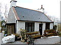
Old Cottage near Park Well Wood, Creetown
Image: © Anthony O'Neil
Taken: 4 Apr 2013
0.01 miles
2
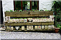
Say it with tiles!
Larg Cottage, Creetown
Image: © Anthony O'Neil
Taken: 27 May 2015
0.01 miles
3
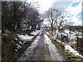
Lane to Larg Farm
From Kirkmabreck, Creetown
Image: © Anthony O'Neil
Taken: 4 Apr 2013
0.04 miles
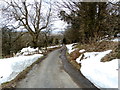
6
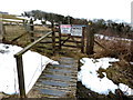
Gateway to the hills
Near Larg, Creetown
Image: © Anthony O'Neil
Taken: 4 Apr 2013
0.07 miles
8
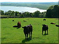
Cattle on Larg Hill
Looking down on estuary of River Cree
Image: © RH Dengate
Taken: 17 Jun 2010
0.12 miles
10
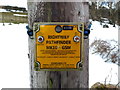
No more fruitless searches?
The days when transmission engineers had to make visual inspections of poles and cables is at an end. These devices detect a problem, electronically, and broadcast its whereabouts to the electrical maintenance team.
Image: © Anthony O'Neil
Taken: 4 Apr 2013
0.13 miles