IMAGES TAKEN NEAR TO
Kirkland Street, CASTLE DOUGLAS, DG7 3UX
Introduction
This page details the photographs taken nearby to Kirkland Street, DG7 3UX by members of the Geograph project.
The Geograph project started in 2005 with the aim of publishing, organising and preserving representative images for every square kilometre of Great Britain, Ireland and the Isle of Man.

There are currently over 7.5m images from over14,400 individuals and you can help contribute to the project by visiting https://www.geograph.org.uk
Image Map
Images are licensed for reuse under creativecommons.org/licenses/by-sa/2.0
Notes
- Clicking on the map will re-center to the selected point.
- The higher the marker number, the further away the image location is from the centre of the postcode.
Image Listing (151 Images Found)
Images are licensed for reuse under creativecommons.org/licenses/by-sa/2.0
Image
Details
Distance
1
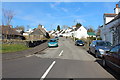
Kirkland Street, St John's Town of Dalry
Image: © Billy McCrorie
Taken: 11 Mar 2014
0.01 miles
2
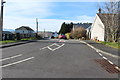
Throughgate, St John's Town of Dalry
Image: © Billy McCrorie
Taken: 11 Mar 2014
0.03 miles
3

Community Hall, Kirkland Street, St John's Town of Dalry
A small wood clad community building on Kirkland Street in Dalry.
Image: © Graham Robson
Taken: 27 Jun 2019
0.03 miles
4
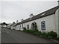
Cottages on Kirkland Street Dalry
Traffic just goes through Dalry, but the tourist board have a little "town trail" for both here and New Galloway. Both well worth the walk.
Image: © Martin Dawes
Taken: 29 May 2014
0.06 miles
5
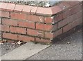
Ordnance Survey Cut Mark
This OS cut mark can be found on the SE face of the school. It marks a point 75.840m above mean sea level.
Image: © Adrian Dust
Taken: 23 Mar 2018
0.07 miles
6
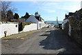
Kirkland Street, St John's Town of Dalry
Image: © Billy McCrorie
Taken: 11 Mar 2014
0.08 miles
7
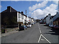
Main Street, St John's Town of Dalry
Standing on the Gridline looking uphill along the Main Street of this beautiful village. This part of the village was built as part of a planned development in the 1700's by the Earl of Galloway.
Image: © Kevin Rae
Taken: 14 Apr 2006
0.08 miles
8
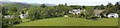
Wayside and the north end of Kirkland Street, St John's Town of Dalry
The Rhinns of Kells can be seen in the background
Image: © Bob Peace
Taken: 11 Jun 2011
0.08 miles
9
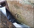
Ordnance Survey Cut Mark
This OS cut mark can be found on the north angle of the Old Chapel. It marks a point 85.350m above mean sea level.
Image: © Adrian Dust
Taken: 23 Mar 2018
0.09 miles