IMAGES TAKEN NEAR TO
Crocketford, DUMFRIES, DG2 8QW
Introduction
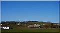
This page details the photographs taken nearby to DG2 8QW by members of the Geograph project.
The Geograph project started in 2005 with the aim of publishing, organising and preserving representative images for every square kilometre of Great Britain, Ireland and the Isle of Man.

There are currently over 7.5m images from over14,400 individuals and you can help contribute to the project by visiting https://www.geograph.org.uk
Image Map
Images are licensed for reuse under creativecommons.org/licenses/by-sa/2.0
Notes
- Clicking on the map will re-center to the selected point.
- The higher the marker number, the further away the image location is from the centre of the postcode.
Image Listing (16 Images Found)
Images are licensed for reuse under creativecommons.org/licenses/by-sa/2.0
Image
Details
Distance
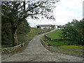
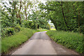
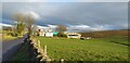
3
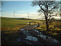
Cycle Route 7
National Cycle Route 7 between Castle Douglas and Dumfries
Image: © Iain Thompson
Taken: 20 Oct 2006
0.17 miles
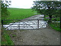
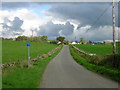
6
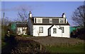
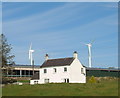
Stonehouse Farmhouse
The farmhouse at Stonehouse farm.
Image: © Colin Kinnear
Taken: 16 Nov 2008
0.20 miles