IMAGES TAKEN NEAR TO
DUMFRIES, DG2 8PU
Introduction
This page details the photographs taken nearby to DG2 8PU by members of the Geograph project.
The Geograph project started in 2005 with the aim of publishing, organising and preserving representative images for every square kilometre of Great Britain, Ireland and the Isle of Man.

There are currently over 7.5m images from over14,400 individuals and you can help contribute to the project by visiting https://www.geograph.org.uk
Image Map
Images are licensed for reuse under creativecommons.org/licenses/by-sa/2.0
Notes
- Clicking on the map will re-center to the selected point.
- The higher the marker number, the further away the image location is from the centre of the postcode.
Image Listing (10 Images Found)
Images are licensed for reuse under creativecommons.org/licenses/by-sa/2.0
Image
Details
Distance
1
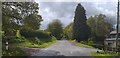
Old A75
The route of the old A75 which has now been upgraded. The road now leads to various private dwellings.
Image: © Colin Kinnear
Taken: 30 Apr 2020
0.02 miles
2
Twister
There has been a recent addition to this scene - the wind turbines now visible on the right. A worrying number of these wind farms are in the planning stages threatening to spoil the natural beauty of this area.
Image: © Debbie Turner
Taken: 11 Feb 2008
0.13 miles
3

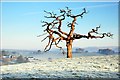
Twister
Impressive lone tree - with view over towards Terregles. Can be seen above from the A75 as you leave Dumfries heading towards Stranraer, locally known as "The Glen" road.
Image: © Debbie Turner
Taken: 11 May 2007
0.15 miles
4
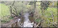
Cargen Water
Cargen Water taken from the Clunie Bridge.
Image: © Colin Kinnear
Taken: 30 Apr 2020
0.16 miles
5
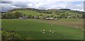
Terraughtie view
Looking over farmland from near Terraughtie to the Terregles Hills.
Image: © Colin Kinnear
Taken: 30 Apr 2020
0.18 miles
6
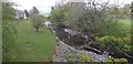
Cargen Water
Cargen Water from the Clunie Bridge.
Image: © Colin Kinnear
Taken: 30 Apr 2020
0.19 miles
7
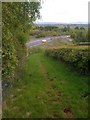
A75, seen from a nearby path
This is the A75 northwest of Dumfries.
Image: © Darrin Antrobus
Taken: 15 May 2010
0.19 miles
8
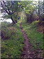
Path
This path is used by horse riders.
Image: © Darrin Antrobus
Taken: 15 May 2010
0.23 miles
9
Core Path 132
Core Path 132 to The Old Military Road.
Image: © Colin Kinnear
Taken: 30 Apr 2020
0.23 miles