IMAGES TAKEN NEAR TO
Drungans Drive, DUMFRIES, DG2 8NS
Introduction
This page details the photographs taken nearby to Drungans Drive, DG2 8NS by members of the Geograph project.
The Geograph project started in 2005 with the aim of publishing, organising and preserving representative images for every square kilometre of Great Britain, Ireland and the Isle of Man.

There are currently over 7.5m images from over14,400 individuals and you can help contribute to the project by visiting https://www.geograph.org.uk
Image Map
Images are licensed for reuse under creativecommons.org/licenses/by-sa/2.0
Notes
- Clicking on the map will re-center to the selected point.
- The higher the marker number, the further away the image location is from the centre of the postcode.
Image Listing (8 Images Found)
Images are licensed for reuse under creativecommons.org/licenses/by-sa/2.0
Image
Details
Distance
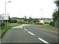
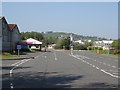
3
Roundabout at the junction of the A711 and a factory entrance
Image: © Ann Cook
Taken: 15 Sep 2012
0.10 miles
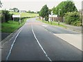
4
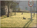
Rabbits near entrance to Chemical Plant
Image: © Darrin Antrobus
Taken: 25 Mar 2007
0.14 miles
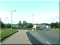
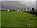
5
Dupont, Cargenbridge
Quiet on Easter Monday.
Image: © Richard Webb
Taken: 22 Apr 2019
0.15 miles
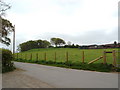
8
Waterside Farm
A view of Waterside Farm near Dumfries.
Image: © Colin Kinnear
Taken: 29 Apr 2008
0.21 miles