IMAGES TAKEN NEAR TO
Dunscore, DUMFRIES, DG2 0UN
Introduction
This page details the photographs taken nearby to DG2 0UN by members of the Geograph project.
The Geograph project started in 2005 with the aim of publishing, organising and preserving representative images for every square kilometre of Great Britain, Ireland and the Isle of Man.

There are currently over 7.5m images from over14,400 individuals and you can help contribute to the project by visiting https://www.geograph.org.uk
Image Map
Images are licensed for reuse under creativecommons.org/licenses/by-sa/2.0
Notes
- Clicking on the map will re-center to the selected point.
- The higher the marker number, the further away the image location is from the centre of the postcode.
Image Listing (5 Images Found)
Images are licensed for reuse under creativecommons.org/licenses/by-sa/2.0
Image
Details
Distance
3
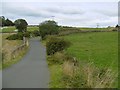
Road to Dunscore
Near Lanehead, south of Dunscore.
Image: © Richard Webb
Taken: 3 Sep 2015
0.10 miles
4
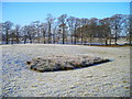
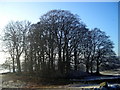
Trees and Frosty Field Near Farmersfield
Image: © Iain Thompson
Taken: 21 Dec 2007
0.12 miles
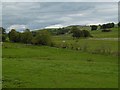
5
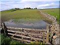
Field near Craig, Dunscovre
The lowest corner of the field is flooded after recent heavy rain, making access into the field difficult.
Image: © Oliver Dixon
Taken: 24 May 2009
0.13 miles