
IMAGES TAKEN NEAR TO
Dunscore, DUMFRIES, DG2 0UL
Introduction
This page details the photographs taken nearby to DG2 0UL by members of the Geograph project.
The Geograph project started in 2005 with the aim of publishing, organising and preserving representative images for every square kilometre of Great Britain, Ireland and the Isle of Man.

There are currently over 7.5m images from over14,400 individuals and you can help contribute to the project by visiting https://www.geograph.org.uk
Image Map
Images are licensed for reuse under creativecommons.org/licenses/by-sa/2.0
Notes
- Clicking on the map will re-center to the selected point.
- The higher the marker number, the further away the image location is from the centre of the postcode.
Image Listing (11 Images Found)
Images are licensed for reuse under creativecommons.org/licenses/by-sa/2.0
Image
Details
Distance
1
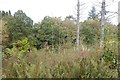
Woodland above Dalgonar Linn
Vegetation colonising a cleared area.
Image: © Richard Webb
Taken: 6 Oct 2018
0.07 miles
2
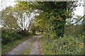
Road, Dalgonar
A quiet road with a grass strip.
Image: © Richard Webb
Taken: 6 Oct 2018
0.08 miles
3
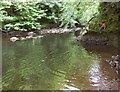
Cairn Water downstream from Dalgonar Bridge
Image: © Jerry Evans
Taken: 5 Jun 2004
0.09 miles
4
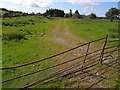
Track of the Cairn Valley Light Railway near Gordieston
The light railway from Dumfries to Moniaive was a very late addition to the rail network, being opened in 1905. Services were withdrawn in the 1940s and the track lifted in 1953.
Image: © Oliver Dixon
Taken: 24 May 2009
0.13 miles
5

Cairn Water
View upstream from Dalgonar Bridge by Dunscore.
Image: © Richard Webb
Taken: 6 Oct 2018
0.16 miles
6

Eastward across Cairn Water valley at site of Dunscore station
View NE: the station had been on the left: ex-G&SW Dumfries - Moniaive Light Railway; all closed to passengers 3/5/43, to goods 4/7/49 - just a gateway is left in 1991.
Image: © Ben Brooksbank
Taken: 2 Sep 1991
0.16 miles
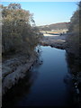
8
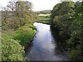
Cairn Water
Looking upstream from Dalgonar Bridge.
Image: © Oliver Dixon
Taken: 24 May 2009
0.18 miles
9
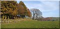
Craighead Plantation
Looking along the edge of Craighead Plantation in the direction of Dunscore.
Image: © Colin Kinnear
Taken: 7 Nov 2020
0.18 miles
10
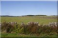
Fields, Gilmerston
There is a lot of good quality stone in Glencairn, so dykes are common. This is close to the site of Dunscore Station which was open from 1905 until 1943.
Image: © Richard Webb
Taken: 6 Oct 2018
0.19 miles