
IMAGES TAKEN NEAR TO
Corrie, LOCKERBIE, DG11 2NP
Introduction
This page details the photographs taken nearby to DG11 2NP by members of the Geograph project.
The Geograph project started in 2005 with the aim of publishing, organising and preserving representative images for every square kilometre of Great Britain, Ireland and the Isle of Man.

There are currently over 7.5m images from over14,400 individuals and you can help contribute to the project by visiting https://www.geograph.org.uk
Image Map
Images are licensed for reuse under creativecommons.org/licenses/by-sa/2.0
Notes
- Clicking on the map will re-center to the selected point.
- The higher the marker number, the further away the image location is from the centre of the postcode.
Image Listing (7 Images Found)
Images are licensed for reuse under creativecommons.org/licenses/by-sa/2.0
Image
Details
Distance
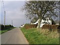
2
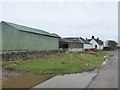
Whitehill Farm
Barn and farm at Corrie Common.
Image: © Oliver Dixon
Taken: 14 Oct 2018
0.02 miles
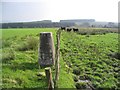
4
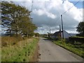
Corrie Common
The telephone box is still in use.
Image: © Richard Webb
Taken: 8 Oct 2015
0.06 miles
5
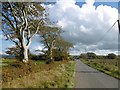
Corrie Common
The trees tell of wind, Corrie Common is 230m up overlooking the Solway Firth. I should imagine it gets very foggy here too.
Image: © Richard Webb
Taken: 8 Oct 2015
0.17 miles
6
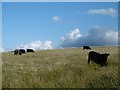
Cattle, Corrie Common
The ground dries out a bit further up the hill.
Image: © Richard Webb
Taken: 8 Oct 2015
0.22 miles
7
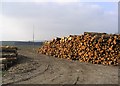
Logging operations at Ladycleuch Plantation
There is one tree left standing at the end of the logs.
Image: © Walter Baxter
Taken: 15 Oct 2006
0.23 miles