
IMAGES TAKEN NEAR TO
Cressida Court, DERBY, DE73 5AL
Introduction
This page details the photographs taken nearby to Cressida Court, DE73 5AL by members of the Geograph project.
The Geograph project started in 2005 with the aim of publishing, organising and preserving representative images for every square kilometre of Great Britain, Ireland and the Isle of Man.

There are currently over 7.5m images from over14,400 individuals and you can help contribute to the project by visiting https://www.geograph.org.uk
Image Map
Images are licensed for reuse under creativecommons.org/licenses/by-sa/2.0
Notes
- Clicking on the map will re-center to the selected point.
- The higher the marker number, the further away the image location is from the centre of the postcode.
Image Listing (44 Images Found)
Images are licensed for reuse under creativecommons.org/licenses/by-sa/2.0
Image
Details
Distance
1
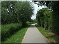
Cloud Trail heading north
Cycle trail towards Derby.
Image: © JThomas
Taken: 12 Jul 2013
0.02 miles
3
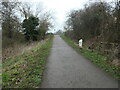
Four miles to Derby
Mile marker on the Cloud Trail in the Derby suburb of Chellaston. This is the former route of the Derby canal which opened in 1796 and was abandoned in 1964. The Derby and Sandiacre Canal Trust are working to reopen it. The Cloud Trail and NCN route 6 follow the former towpath, which is also a public footpath.
Image: © Christine Johnstone
Taken: 16 Feb 2023
0.04 miles
4

The Cloud Trail west of Chellaston
Part of route 6 of the National Cycle Network, following the line of the Derby Canal.
Image: © David Lally
Taken: 13 Apr 2014
0.06 miles
5
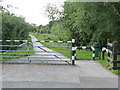
Derby Canal
Looking south from Sinfin Moor Lane. Here, the bed of the canal is not entirely filled in. The black and white paintwork shows that this section still falls under the control of the Canals and Rivers Trust. The former towpath is now a footpath and cycleway, part of Sustrans national route 6.
Image: © Alan Murray-Rust
Taken: 14 Aug 2013
0.07 miles
6
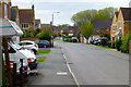
Vernon Way
Typical recently build suburbia on the western edge of Chellaston.
Image: © David Lally
Taken: 13 Apr 2014
0.09 miles
7
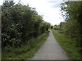
Derby Canal path west of Chellaston (2)
Looking towards Swarkestone Lock from Sinfin Moor Lane.
Image: © Richard Vince
Taken: 4 May 2019
0.09 miles
10
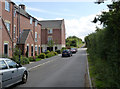
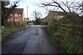
Sinfin Moor Lane
This byway is gradually being absorbed by housing development.
Image: © Alan Murray-Rust
Taken: 14 Aug 2013
0.11 miles