
IMAGES TAKEN NEAR TO
Shacklecross Close, DERBY, DE72 3GX
Introduction
This page details the photographs taken nearby to Shacklecross Close, DE72 3GX by members of the Geograph project.
The Geograph project started in 2005 with the aim of publishing, organising and preserving representative images for every square kilometre of Great Britain, Ireland and the Isle of Man.

There are currently over 7.5m images from over14,400 individuals and you can help contribute to the project by visiting https://www.geograph.org.uk
Image Map
Images are licensed for reuse under creativecommons.org/licenses/by-sa/2.0
Notes
- Clicking on the map will re-center to the selected point.
- The higher the marker number, the further away the image location is from the centre of the postcode.
Image Listing (43 Images Found)
Images are licensed for reuse under creativecommons.org/licenses/by-sa/2.0
Image
Details
Distance
1

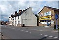
Bus Shelter on Draycott Road, Borrowash
The A6005 Road seen here at its junction with Shacklecross Close on the left.
Image: © Jonathan Clitheroe
Taken: 29 Dec 2013
0.05 miles
2
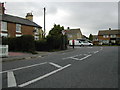
Road Junction at Borrowash
This junction cuts a corner off the Roman Road at Borrowash. This view looking North leaves the B5010 as a right turn, and the continuation of the Roman Road through Borrowash to the left.
Image: © Peter Shone
Taken: 13 Oct 2005
0.08 miles
3
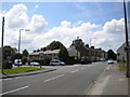
Junction of Draycott Road and Nottingham Road
This is the junction where Draycott Road (left) meets Nottingham Road on the eastern approach to Borrowash. Since the construction of the new A52, bypassing Borrowash, Draycott Road (the A6005) has been the more important road approaching this junction from the east. Therefore, west of this point Nottingham Road becomes the A6005.
Image: © Richard Vince
Taken: 7 Jul 2012
0.08 miles
4
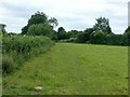
Field footpath near Borrowash
It is hard to believe that this is the line of the former Derby Canal.
Image: © Alan Murray-Rust
Taken: 12 Jun 2018
0.08 miles
5
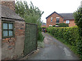
Unnamed Lane, Borrowash
This small lane off Nottingham Road leads to a mixture of old and newly built dwellings.
Image: © David Lally
Taken: 20 Jun 2009
0.09 miles

9
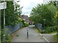
Footbridge over the Ock Brook
The sign on the right indicates that this is part of National Cycle Route 6 which comes across the bridge and turns right towards the Derby Canal towpath.
Image: © Alan Murray-Rust
Taken: 12 Jun 2018
0.09 miles
10
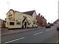
The Nags Head
On the B5010 as it leaves the village heading east.
Image: © David Lally
Taken: 20 Jun 2009
0.10 miles