IMAGES TAKEN NEAR TO
Ribble Close, DERBY, DE65 5JX
Introduction
This page details the photographs taken nearby to Ribble Close, DE65 5JX by members of the Geograph project.
The Geograph project started in 2005 with the aim of publishing, organising and preserving representative images for every square kilometre of Great Britain, Ireland and the Isle of Man.

There are currently over 7.5m images from over14,400 individuals and you can help contribute to the project by visiting https://www.geograph.org.uk
Image Map
Images are licensed for reuse under creativecommons.org/licenses/by-sa/2.0
Notes
- Clicking on the map will re-center to the selected point.
- The higher the marker number, the further away the image location is from the centre of the postcode.
Image Listing (19 Images Found)
Images are licensed for reuse under creativecommons.org/licenses/by-sa/2.0
Image
Details
Distance
1

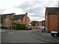
The Mease
This road is called the Mease. It forms a small ring road around the village of Hilton. Part of this road also leads to Hilton Industrial Estate so it has a dual purpose.
Image: © Malcolm Neal
Taken: 27 Mar 2018
0.02 miles

4

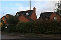
The Mease, Hilton
Home to Hilton Harriers Football Club.
Image: © Alan Murray-Rust
Taken: 17 Oct 2017
0.07 miles
5
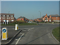
New housing development south of Hilton
Image: © Jerry Evans
Taken: 27 Mar 2007
0.07 miles
6
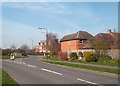
Roundabout in Hilton
This is 'The Mease' - an area of newish properties skirting the southern fringes of Hilton.
Image: © Jonathan Clitheroe
Taken: 29 Mar 2014
0.08 miles
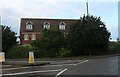
8
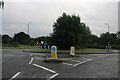
Roundabout on The Mease, Hilton
The tree has grown substantially since Google showed it as a small bush in 2009
Image: © David Howard
Taken: 15 Aug 2021
0.09 miles