
IMAGES TAKEN NEAR TO
Lime Grove, DERBY, DE65 5EY
Introduction
This page details the photographs taken nearby to Lime Grove, DE65 5EY by members of the Geograph project.
The Geograph project started in 2005 with the aim of publishing, organising and preserving representative images for every square kilometre of Great Britain, Ireland and the Isle of Man.

There are currently over 7.5m images from over14,400 individuals and you can help contribute to the project by visiting https://www.geograph.org.uk
Image Map
Images are licensed for reuse under creativecommons.org/licenses/by-sa/2.0
Notes
- Clicking on the map will re-center to the selected point.
- The higher the marker number, the further away the image location is from the centre of the postcode.
Image Listing (26 Images Found)
Images are licensed for reuse under creativecommons.org/licenses/by-sa/2.0
Image
Details
Distance
2
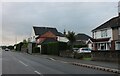
Station Road, Hatton
Hatton and Tutbury are divided by the River Dove, leaving Hatton in Derbyshire and Tutbury in Staffordshire as the river forms the border for some miles.
Image: © David Howard
Taken: 15 Aug 2021
0.05 miles
3
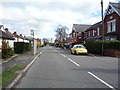
Bus stop and shelter on Station Road, Hatton
Looking north.
Image: © JThomas
Taken: 16 Apr 2016
0.06 miles
5
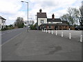
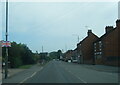
Railway Tavern
Situated some way from the current railway I assume this tavern relates to a long gone railway. The awkward geometry of the building looks as if the two storey part has been cut in half at some time.
Image: © Michael Patterson
Taken: 27 Apr 2006
0.07 miles
6
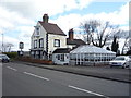
The Railway Tavern, Hatton
On Station Road.
Image: © JThomas
Taken: 16 Apr 2016
0.07 miles
8
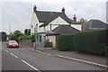
Station Road, Hatton
Looking towards the junction with Yew Tree Road.
Image: © Stephen McKay
Taken: 19 Oct 2013
0.08 miles
9
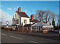
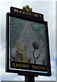
The Railway Tavern in Hatton
Strikingly-shaped public house on Station Road - pictured here on a blustery Friday in late December.
Image: © Jonathan Clitheroe
Taken: 27 Dec 2013
0.08 miles
10
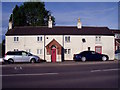
The Old Cock Inn
The "Old Cock Inn", or simply "Cock", disappears from the Ordnance Survey plans between 1901 and 1922. It's now a house but is still called "The Old Cock Inn".
Image: © Ian Calderwood
Taken: 23 Sep 2015
0.17 miles