
IMAGES TAKEN NEAR TO
Roberts Drive, ALFRETON, DE55 7GU
Introduction
This page details the photographs taken nearby to Roberts Drive, DE55 7GU by members of the Geograph project.
The Geograph project started in 2005 with the aim of publishing, organising and preserving representative images for every square kilometre of Great Britain, Ireland and the Isle of Man.

There are currently over 7.5m images from over14,400 individuals and you can help contribute to the project by visiting https://www.geograph.org.uk
Image Map
Images are licensed for reuse under creativecommons.org/licenses/by-sa/2.0
Notes
- Clicking on the map will re-center to the selected point.
- The higher the marker number, the further away the image location is from the centre of the postcode.
Image Listing (47 Images Found)
Images are licensed for reuse under creativecommons.org/licenses/by-sa/2.0
Image
Details
Distance
1
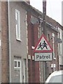
UK School Crossing Patrol Ahead Sign
UK School Crossing Patrol Ahead Sign on 2 Prospect Street, Alfreton Derbyshire.
Image: © gary
Taken: 19 Mar 2016
0.05 miles
2
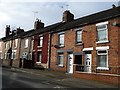
Houses on the west side of Prospect Street, Alfreton
Terraced, but not uniform.
Image: © Christine Johnstone
Taken: 13 Nov 2017
0.06 miles
3
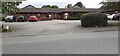
Rose Court, Meadows Care Home, Mansfield Road
Image: © Luke Shaw
Taken: 25 Sep 2022
0.06 miles
4
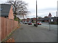
Bus stop on Mansfield Road, Alfreton
Looking eastwards, near the junction with Meadow Lane.
Image: © Christine Johnstone
Taken: 13 Nov 2017
0.08 miles
5
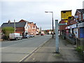
Speed camera, Mansfield Road, Alfreton
Near the eastern edge of the town.
Image: © Christine Johnstone
Taken: 13 Nov 2017
0.08 miles
6
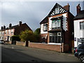
Detached house, Prospect Street, Alfreton
Almost every other house on this street is terraced.
Image: © Christine Johnstone
Taken: 13 Nov 2017
0.09 miles
7
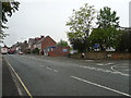
Alfreton - Junction of Mansfield Road and Meadow Lane
Image: © Alan Heardman
Taken: 30 May 2008
0.09 miles
8
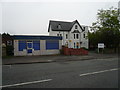
Alfreton - Smith Cooper Building on Mansfield Road (B6019)
Image: © Alan Heardman
Taken: 30 May 2008
0.09 miles
9
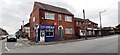
Jimmy's Fish Bar, #100 Mansfield Road at Prospect Street junction
Ordnance Survey documents indicate that a benchmark levelled at 124.544m above Newlyn Datum was verified in 1961 on the left hand side of the shop at its rear corner
Image: © Roger Templeman
Taken: 25 Sep 2022
0.10 miles
10
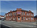
"The Station", Alfreton
Now converted to housing. Another of this country's lost pubs.
Image: © Neil Theasby
Taken: 4 Jul 2019
0.10 miles