
IMAGES TAKEN NEAR TO
Lavender Close, ALFRETON, DE55 5LH
Introduction
This page details the photographs taken nearby to Lavender Close, DE55 5LH by members of the Geograph project.
The Geograph project started in 2005 with the aim of publishing, organising and preserving representative images for every square kilometre of Great Britain, Ireland and the Isle of Man.

There are currently over 7.5m images from over14,400 individuals and you can help contribute to the project by visiting https://www.geograph.org.uk
Image Map
Images are licensed for reuse under creativecommons.org/licenses/by-sa/2.0
Notes
- Clicking on the map will re-center to the selected point.
- The higher the marker number, the further away the image location is from the centre of the postcode.
Image Listing (77 Images Found)
Images are licensed for reuse under creativecommons.org/licenses/by-sa/2.0
Image
Details
Distance
1
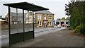
Chesterfield Road
This is Chesterfield Road, Lane End, Tibshelf.
The building in the middle of the photograph is the Image
The garage to the right of the building is a motor repair and MOT testing station, Gerry Foley Motors.
In front of the garage is a mini roundabout forming the junction of Chesterfield Road, Image and Image
To see a more northerly (behind the viewpoint) photograph of Chesterfield Road, click here Image
Image: © Alan Walker
Taken: 16 Oct 2007
0.05 miles
2
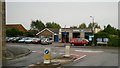
Mini roundabout
This mini roundabout forms the junction between Image (foreground), Image (left) and Image (right).
The building ahead is a motor repair and MOT testing station, Gerry Foley Motors.
Image: © Alan Walker
Taken: 16 Oct 2007
0.05 miles
3
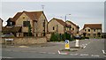
Jasmine Drive
The photograph shows Jasmine Drive at its junction with Image
Image: © Alan Walker
Taken: 16 Oct 2007
0.05 miles
4
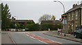
Mansfield Road
The photograph shows the western end of Mansfield Road as it approaches its junction (a Image) with Image (ahead, left) and Chesterfield Road (ahead, right).
The building on the right of the photograph is the Image
For another photograph of Mansfield Road, with the viewpoint some four metres away but facing the opposite direction, click here Image
Image: © Alan Walker
Taken: 16 Oct 2007
0.05 miles
5
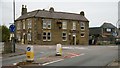
White Hart Inn public house
The photograph shows the White Hart Inn public house, which sits at the junction (a Image), of Image (behind the viewpoint), Chesterfield Road and Image (right).
See also this photograph by Alan Heardman, Image
See also this web page from AllPubs, http://www.allpubs.co.uk/pub/30865
Image: © Alan Walker
Taken: 16 Oct 2007
0.05 miles
6
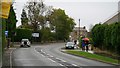
High Street
The photograph shows the north-eastern end of High Street (B6014) and was taken from near the Image (behind the viewpoint).
The building ahead (right of centre) is the Image, which sits at the junction (a Image) of High Street, Image and Image
For a more south-westerly (behind the viewpoint) photograph of High Street, click here Image
Image: © Alan Walker
Taken: 16 Oct 2007
0.05 miles
9
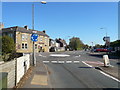
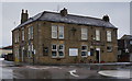
Tibshelf - Approaching Roundabout
The White Hart Inn can be seen left of centre.
Image: © Alan Heardman
Taken: 19 Oct 2007
0.06 miles
10

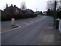
Cut Mark The White Hart Public House Lane End
Image: © Monica Stagg
Taken: 16 Aug 2015
0.06 miles