
IMAGES TAKEN NEAR TO
Laburnum Close, MATLOCK, DE4 2QX
Introduction
This page details the photographs taken nearby to Laburnum Close, DE4 2QX by members of the Geograph project.
The Geograph project started in 2005 with the aim of publishing, organising and preserving representative images for every square kilometre of Great Britain, Ireland and the Isle of Man.

There are currently over 7.5m images from over14,400 individuals and you can help contribute to the project by visiting https://www.geograph.org.uk
Image Map
Images are licensed for reuse under creativecommons.org/licenses/by-sa/2.0
Notes
- Clicking on the map will re-center to the selected point.
- The higher the marker number, the further away the image location is from the centre of the postcode.
Image Listing (77 Images Found)
Images are licensed for reuse under creativecommons.org/licenses/by-sa/2.0
Image
Details
Distance
1
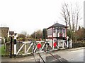
Church Lane Crossing
Level Crossing on the Peak Rail Network. This is part of the original Buxton to Matlock line, closed in 1968. Enthusiast now run restored steam and diesel trains along a re-created section from Rowsley to Matlock.
http://www.peakrail.co.uk/index.htm
Image: © Roger May
Taken: 5 Dec 2005
0.02 miles
3

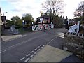
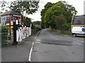
Church Road crossing and signal box
Peak Rail line at Churchtown
Image: © Robert Eva
Taken: 11 Nov 2017
0.04 miles
6
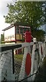
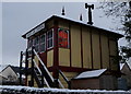
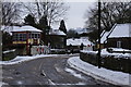
Church Lane Crossing
The Church Lane signal box on the line from Matlock to Rowsley
Image: © Tim Hodgins
Taken: 15 Sep 2014
0.04 miles
8
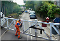
Church Lane Crossing
Traditional crossing gates and lights on Peak Rail with the tell-tale smoke hanging in the air.
Image: © Mary and Angus Hogg
Taken: 7 Sep 2019
0.04 miles
9
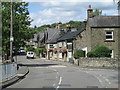
The Church Inn
The pub as seen from the far side of the Churchtown level crossing.
Image: © Tim Hodgins
Taken: 30 Jul 2018
0.05 miles
10
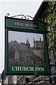
Church Inn, Darley Dale
http://www.geograph.org.uk/photo/4332049
Image: © Ian S
Taken: 30 Jan 2015
0.06 miles