
IMAGES TAKEN NEAR TO
Inglewood Avenue, DERBY, DE3 0RT
Introduction
This page details the photographs taken nearby to Inglewood Avenue, DE3 0RT by members of the Geograph project.
The Geograph project started in 2005 with the aim of publishing, organising and preserving representative images for every square kilometre of Great Britain, Ireland and the Isle of Man.

There are currently over 7.5m images from over14,400 individuals and you can help contribute to the project by visiting https://www.geograph.org.uk
Image Map
Images are licensed for reuse under creativecommons.org/licenses/by-sa/2.0
Notes
- Clicking on the map will re-center to the selected point.
- The higher the marker number, the further away the image location is from the centre of the postcode.
Image Listing (78 Images Found)
Images are licensed for reuse under creativecommons.org/licenses/by-sa/2.0
Image
Details
Distance
1
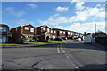
Inglewood Avenue
This is Inglewood Avenue at its junction with Fairbourne Drive which is visible to the bottom left of the image.
Image: © Malcolm Neal
Taken: 21 Jan 2021
0.03 miles
2
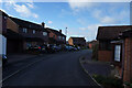
Fairbourne Drive
The shaded end of Fairbourne Drive which curves back on itself before ending as a cul-de-sac.
Image: © Malcolm Neal
Taken: 21 Jan 2021
0.04 miles
3
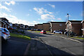
Welland Close
Welland Close is to the south of Inglewood Drive which itself is on the western side of Station Road.
Image: © Malcolm Neal
Taken: 21 Jan 2021
0.05 miles
4
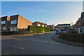
Romsley Close
Houses in quite deep shadow with the sun low down in the sky near midday on this January morning.
Image: © Malcolm Neal
Taken: 9 Jan 2021
0.05 miles
5
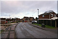
Belvedere Close
This is where Belvedere Close joins Inglewood Avenue.
Image: © Malcolm Neal
Taken: 16 Jan 2021
0.06 miles
6
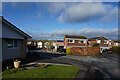
Tiverton Close
Looking towards Inglewood Avenue from the end of Tiverton Close in the suburb of Mickleover on this bright cool morning.
Image: © Malcolm Neal
Taken: 21 Jan 2021
0.08 miles
7
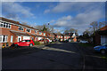
Fairbourne Drive
With deep shadows from the fairly low sun on this bright but cool winter morning.
Image: © Malcolm Neal
Taken: 21 Jan 2021
0.08 miles
8
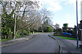
Fairbourne Drive
The trees to the left separate Fairbourne Drive from a newly completed, some 10 years ago approximately, development on Whistlestop Close.
Image: © Malcolm Neal
Taken: 21 Jan 2021
0.09 miles
9

Station Road (B5020), Mickleover
Heading south.
Image: © JThomas
Taken: 12 Jul 2014
0.10 miles
10
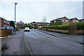
Langford Road
Langford Road is another cul-de-sac off Ladybank Road. Again, and quite usual for the area, there are a coupld of footpath "jittys" that connect Langford Road with other streets in the area.
Image: © Malcolm Neal
Taken: 16 Jan 2021
0.11 miles