IMAGES TAKEN NEAR TO
Penny Long Lane, DERBY, DE22 1AW
Introduction
This page details the photographs taken nearby to Penny Long Lane, DE22 1AW by members of the Geograph project.
The Geograph project started in 2005 with the aim of publishing, organising and preserving representative images for every square kilometre of Great Britain, Ireland and the Isle of Man.

There are currently over 7.5m images from over14,400 individuals and you can help contribute to the project by visiting https://www.geograph.org.uk
Image Map
Images are licensed for reuse under creativecommons.org/licenses/by-sa/2.0
Notes
- Clicking on the map will re-center to the selected point.
- The higher the marker number, the further away the image location is from the centre of the postcode.
Image Listing (11 Images Found)
Images are licensed for reuse under creativecommons.org/licenses/by-sa/2.0
Image
Details
Distance
1
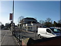
Pub restoration
A major refurbishment at this pub, The Broadway, at the junction of the A6 and Broadway at Darley Abbey, Derby.
Image: © Peter Barr
Taken: 8 Feb 2011
0.17 miles
3
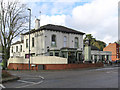
Derby - The Broadway
Ember Inns pub on Duffield Road. For a 2011 photo, please see Image
Image: © Dave Bevis
Taken: 14 Nov 2014
0.21 miles
4
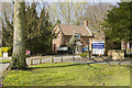
Broadway Derby
These houses are part of the Retail Trust, according to the sign by the entrance.
Image: © Malcolm Neal
Taken: 8 Apr 2017
0.22 miles
5
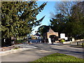
Leylands Estate, Broadway
In the northern suburbs of Derby, work in progress on the road through this private housing estate.
Image: © Peter Barr
Taken: 8 Feb 2011
0.22 miles
6
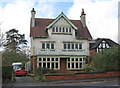
Derby - Duffield Road No 183
One of many large houses on the A6 Duffield Road out of Derby. This building's style suggests it was built in the early twentieth century.
Image: © Dave Bevis
Taken: 14 Nov 2014
0.22 miles
7
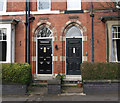
Derby - brickwork on Wheeldon Avenue
House numbers 57 and 59.
Image: © Dave Bevis
Taken: 27 Mar 2015
0.24 miles
8
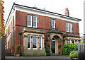
Derby - Mile-Ash House
House on Duffield Road. This appears to be a large nineteenth century house now split into two dwellings. Mile-Ash House (No 185) is on the left and Coach House (No 185A) is on the right.
Image: © Dave Bevis
Taken: 14 Nov 2014
0.24 miles
9
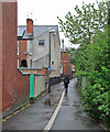
Newton's Walk
The twitchel which links Sherwin Street and Park Grove (behind the camera) to Broadway.
Image: © John Sutton
Taken: 25 Apr 2014
0.24 miles