
IMAGES TAKEN NEAR TO
Henhurst Hill, BURTON-ON-TRENT, DE13 9TA
Introduction
This page details the photographs taken nearby to Henhurst Hill, DE13 9TA by members of the Geograph project.
The Geograph project started in 2005 with the aim of publishing, organising and preserving representative images for every square kilometre of Great Britain, Ireland and the Isle of Man.

There are currently over 7.5m images from over14,400 individuals and you can help contribute to the project by visiting https://www.geograph.org.uk
Image Map
Images are licensed for reuse under creativecommons.org/licenses/by-sa/2.0
Notes
- Clicking on the map will re-center to the selected point.
- The higher the marker number, the further away the image location is from the centre of the postcode.
Image Listing (10 Images Found)
Images are licensed for reuse under creativecommons.org/licenses/by-sa/2.0
Image
Details
Distance
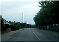
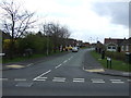
3
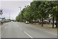
Henhurst Hill
Henhurst Hill is a road in the village of Rough Hay, that runs towards Shobnall. Shobnall is a suburb on the west edge of Burton.
Image: © Malcolm Neal
Taken: 9 Aug 2018
0.04 miles
4
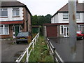
Footpath Between the Houses
This footpath to Anslow is squeezed between the garages of the houses either side.
Image: © Michael Patterson
Taken: 6 Jul 2006
0.06 miles
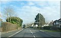
6
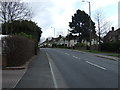
Henhurst Hill (B5017), heading east
Towards Burton upon Trent.
Image: © JThomas
Taken: 19 Apr 2013
0.14 miles
8
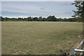
A grassy field
The grassy field which is showing little or no growth due to the very dry conditions we have expeienced over the past two months.
Image: © Malcolm Neal
Taken: 9 Aug 2018
0.22 miles
9
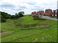
Balancing pond by King Road
Alleviation works have been required at the new Henhurst Fields development to reduce the risk of flooding of Shobnall Brook.
Image: © Ian Calderwood
Taken: 21 Jun 2019
0.23 miles
10
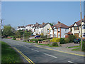
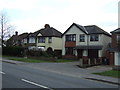
Classic tween-wars ribbon development
The B5017 is continuously ribbon-developed for about 2 miles between Shobnall and Rough Hay with these typical tween-wars semi-detached houses. This type of development led to more restrictive planning conditions after the second world war to prevent unnecessary encroachment on countryside.
Image: © Alan Murray-Rust
Taken: 15 Apr 2007
0.23 miles