
IMAGES TAKEN NEAR TO
Dawn Field, SWADLINCOTE, DE12 6AU
Introduction
This page details the photographs taken nearby to Dawn Field, DE12 6AU by members of the Geograph project.
The Geograph project started in 2005 with the aim of publishing, organising and preserving representative images for every square kilometre of Great Britain, Ireland and the Isle of Man.

There are currently over 7.5m images from over14,400 individuals and you can help contribute to the project by visiting https://www.geograph.org.uk
Image Map
Images are licensed for reuse under creativecommons.org/licenses/by-sa/2.0
Notes
- Clicking on the map will re-center to the selected point.
- The higher the marker number, the further away the image location is from the centre of the postcode.
Image Listing (26 Images Found)
Images are licensed for reuse under creativecommons.org/licenses/by-sa/2.0
Image
Details
Distance
3
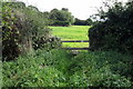
Stile on the path to Cadborough Farm
Image: © Philip Jeffrey
Taken: 27 Aug 2014
0.07 miles
4
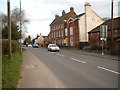
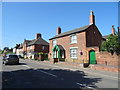
Grange Farm on the A444 at Overseal
Grange Farm stands close to the centre of the village of Overseal. It is thought to date from the 17th century; the former farmhouse is Grade II Listed with a typical three storey Georgian appearance.
Image: © Mark Walton
Taken: 14 Mar 2007
0.07 miles
6
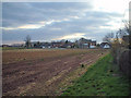
Round the back
A view of the last few houses at the South East edge of the village looking towards A444 from the public footpath.
Image: © Mark Walton
Taken: 14 Mar 2007
0.09 miles
8
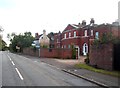
Overseale House on Acresford Road
Handsome 18th century Grade II* house in Overseal village which was built for local entrepreneur Joseph Wilkes. The alternative spelling of Overseal with the added 'e' is intended.
Image: © Jonathan Clitheroe
Taken: 3 Oct 2012
0.12 miles
10

Children's play area on Stoneyford Road
Image: © Ian Calderwood
Taken: 11 Aug 2025
0.15 miles