
IMAGES TAKEN NEAR TO
Occupation Lane, SWADLINCOTE, DE11 8GB
Introduction
This page details the photographs taken nearby to Occupation Lane, DE11 8GB by members of the Geograph project.
The Geograph project started in 2005 with the aim of publishing, organising and preserving representative images for every square kilometre of Great Britain, Ireland and the Isle of Man.

There are currently over 7.5m images from over14,400 individuals and you can help contribute to the project by visiting https://www.geograph.org.uk
Image Map
Images are licensed for reuse under creativecommons.org/licenses/by-sa/2.0
Notes
- Clicking on the map will re-center to the selected point.
- The higher the marker number, the further away the image location is from the centre of the postcode.
Image Listing (8 Images Found)
Images are licensed for reuse under creativecommons.org/licenses/by-sa/2.0
Image
Details
Distance
1
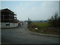
A view down Occupation Lane
Looking down occupation lane towards the industrial units. To the Right of the photograph (by the road sign) is the public footpath in a North westerly direction.
Image: © Mark Walton
Taken: 25 Mar 2007
0.04 miles
2
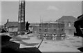
J Knowles, Mount Pleasant Works, Woodville
Now demolished.
A stationary steam engine is in store at Snibston and the wood panelling from its house is on display by another engine that is on show. A Lancashire boiler went to Pleasley Colliery and is in open air store. This site was largely disused but a security man in a van found us and requested that we leave.
Image: © Chris Allen
Taken: 2 Mar 1986
0.08 miles
3
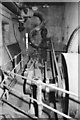
Steam engine, Mount Pleasant Works, Woodville
Horizontal single cylinder engine by Buxton & Thornley of Burton-upon-Trent. Built c1880-1890 and in use until about 1971. This went into store at Snibston in Leicestershire but is due to be re-erected at Claymills Victorian Pumping Station. The works has been demolished. The engine room was very dark, the floor was soft and we were dodging security.
Image: © Chris Allen
Taken: 2 Mar 1986
0.08 miles
4
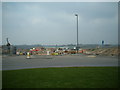
New build on the way
A new housing estate in the process of starting. Just a few months old the view is of the access road for the estate where it joins the new traffic island, the centre of which is the photographer's position.
Image: © Mark Walton
Taken: 25 Mar 2007
0.09 miles
5
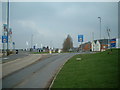
New Island, new estate
This new island was created to allow access to new housing estates being built on both sides of the road.
Image: © Mark Walton
Taken: 25 Mar 2007
0.12 miles
6
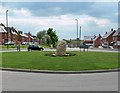
Sculpture on a roundabout
On Moira Road with The Hollies housing development beyond.
Image: © Mat Fascione
Taken: 18 May 2008
0.12 miles
7
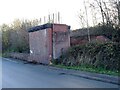
Remains of a former railway bridge
This is where the Midland Railway Swadlincote and Woodville Extension used to cross Occupation Lane.
Image: © Ian Calderwood
Taken: 10 Dec 2021
0.13 miles
8
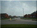
New estate-almost complete
The estate shown in the photograph is almost 12 months old. The view is from the centre of a new road traffic island created to access the estate.
Image: © Mark Walton
Taken: 25 Mar 2007
0.16 miles