
IMAGES TAKEN NEAR TO
Waterside View, CARNOUSTIE, DD7 6EA
Introduction
This page details the photographs taken nearby to Waterside View, DD7 6EA by members of the Geograph project.
The Geograph project started in 2005 with the aim of publishing, organising and preserving representative images for every square kilometre of Great Britain, Ireland and the Isle of Man.

There are currently over 7.5m images from over14,400 individuals and you can help contribute to the project by visiting https://www.geograph.org.uk
Image Map
Images are licensed for reuse under creativecommons.org/licenses/by-sa/2.0
Notes
- Clicking on the map will re-center to the selected point.
- The higher the marker number, the further away the image location is from the centre of the postcode.
Image Listing (38 Images Found)
Images are licensed for reuse under creativecommons.org/licenses/by-sa/2.0
Image
Details
Distance
1
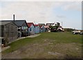
Fishermen's huts at Westhaven
Most of these huts appear to be small workshops but one is a retail outlet for fresh seafood.
Image: © Douglas Nelson
Taken: 1 Oct 2013
0.03 miles
2
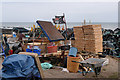
Pirates' stores at West Haven
The Jolly Roger flies over a collection of fishermen's stores.
Image: © Rob Burke
Taken: 23 Mar 2010
0.04 miles
3
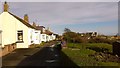
East Row West Haven
Former fishermen's cottages
Image: © Jim Smillie
Taken: 21 Nov 2015
0.05 miles
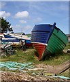
5

Fishing huts at West Haven.
Image: © Gwen and James Anderson
Taken: 14 Jun 2007
0.05 miles
6
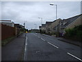
Arbroath Road
Heading east on National Cycle Route 1.
Image: © JThomas
Taken: 23 Oct 2013
0.05 miles
7
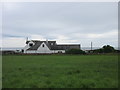
West Haven
West Haven on the eastern edge of Carnoustie.
Image: © Scott Cormie
Taken: 14 Aug 2018
0.07 miles
8
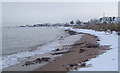
West Haven shoreline
Looking towards West Haven the boat poles of the natural harbour are visible protruding from the water. The white house on the right is the last in the village and much photographed and painted by local artists.
Image: © Gwen and James Anderson
Taken: 12 Feb 2009
0.07 miles
9
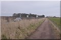
Cycle path, Arbroath Road
A segregated cycle path leaving West Haven. Also the Angus Coast Path.
Image: © Richard Webb
Taken: 12 Mar 2016
0.08 miles
10
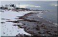
West Haven shoreline
Looking towards the last house in West Haven. The extensively modernised house often appears in local photographs and paintings combined with the curving shoreline and just out of shot to the left a row of boat houses used by local fishermen.
Image: © Gwen and James Anderson
Taken: 12 Feb 2009
0.09 miles