IMAGES TAKEN NEAR TO
Achmore Place, DUNDEE, DD5 4HF
Introduction
This page details the photographs taken nearby to Achmore Place, DD5 4HF by members of the Geograph project.
The Geograph project started in 2005 with the aim of publishing, organising and preserving representative images for every square kilometre of Great Britain, Ireland and the Isle of Man.

There are currently over 7.5m images from over14,400 individuals and you can help contribute to the project by visiting https://www.geograph.org.uk
Image Map
Images are licensed for reuse under creativecommons.org/licenses/by-sa/2.0
Notes
- Clicking on the map will re-center to the selected point.
- The higher the marker number, the further away the image location is from the centre of the postcode.
Image Listing (9 Images Found)
Images are licensed for reuse under creativecommons.org/licenses/by-sa/2.0
Image
Details
Distance
1
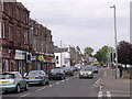
Monifieth
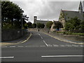
Although Monifieth is proud of being part of Angus and independent from Dundee, it is effectively a dormitory suburb of the city. This view looks east along the A930 through the town.
Image: © Val Vannet
Taken: 15 May 2005
0.14 miles
3
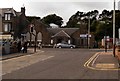
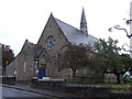
Monifieth Parish Church South Church Halls
Image: © Douglas Nelson
Taken: 27 Aug 2015
0.21 miles
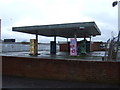
5
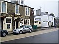
Old Royal Inn, Monifieth
An old coaching inn on the High Street. For a close-up of the sign see Image
Image: © Maigheach-gheal
Taken: 30 Mar 2010
0.23 miles
8
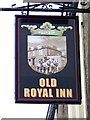
Sign for the Old Royal Inn, Monifieth
The sign on the old coaching inn.
Image: © Maigheach-gheal
Taken: 30 Mar 2010
0.24 miles