IMAGES TAKEN NEAR TO
MONTROSE, DD10 9JU
Introduction
This page details the photographs taken nearby to DD10 9JU by members of the Geograph project.
The Geograph project started in 2005 with the aim of publishing, organising and preserving representative images for every square kilometre of Great Britain, Ireland and the Isle of Man.

There are currently over 7.5m images from over14,400 individuals and you can help contribute to the project by visiting https://www.geograph.org.uk
Image Map
Images are licensed for reuse under creativecommons.org/licenses/by-sa/2.0
Notes
- Clicking on the map will re-center to the selected point.
- The higher the marker number, the further away the image location is from the centre of the postcode.
Image Listing (8 Images Found)
Images are licensed for reuse under creativecommons.org/licenses/by-sa/2.0
Image
Details
Distance
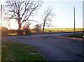
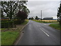
1
Minor road near Muirshade of Gallery
Towards Hillside.
Image: © JThomas
Taken: 11 Jun 2021
0.05 miles
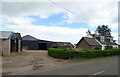
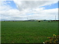
2
Road Junction near North Craigo
Image: © Dominic Dawn Harry and Jacob Paterson
Taken: 18 Nov 2005
0.06 miles
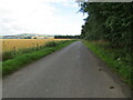
3
Road to North Water Bridge
Road to North Water Bridge at Quarrytack by the right turn to North Craigo
Image: © Shaun Ferguson
Taken: 18 Aug 2011
0.07 miles
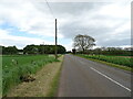
5
Road beside Quarry Wood
Looking north-eastward.
Image: © Peter Wood
Taken: 8 Aug 2021
0.08 miles
6
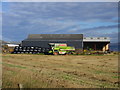
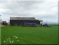
Combine at Muirshade of Gallery
Combine harvester at the farm buildings of Muirshade of Gallery.
Image: © Scott Cormie
Taken: 8 Sep 2018
0.10 miles