IMAGES TAKEN NEAR TO
West Hill, DARTFORD, DA1 2EU
Introduction
This page details the photographs taken nearby to West Hill, DA1 2EU by members of the Geograph project.
The Geograph project started in 2005 with the aim of publishing, organising and preserving representative images for every square kilometre of Great Britain, Ireland and the Isle of Man.

There are currently over 7.5m images from over14,400 individuals and you can help contribute to the project by visiting https://www.geograph.org.uk
Image Map
Images are licensed for reuse under creativecommons.org/licenses/by-sa/2.0
Notes
- Clicking on the map will re-center to the selected point.
- The higher the marker number, the further away the image location is from the centre of the postcode.
Image Listing (101 Images Found)
Images are licensed for reuse under creativecommons.org/licenses/by-sa/2.0
Image
Details
Distance
1
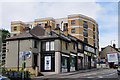
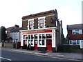
West Hill, Dartford - Almost at the top
West Hill - Looking west towards Crayford.
A new development of flats with an extensive view over Dartford.
The shop in the foreground continues in as a gallery and picture framing business. 'E.C. Bates' is a long established business as a motorcycle retailer and now operates from the rear of the premises.
Image: © Brian Chadwick
Taken: 11 Aug 2010
0.02 miles
2
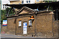
The 'Lock-Up' - on West Hill, Dartford
The 'Lock-up' was Dartford's first police station which was built in 1843. It had four cells and, in 1872, was replaced by a new station in Highfield Road. The 'Lock-up' was then used as accommodation for tramps in conjunction with the neighbouring workhouse and later for drying clothing from the workhouse and hospital.
It is sad to see the demise of a building which once had significant use and an important part of Dartford's social history.
Image: © Brian Chadwick
Taken: 11 Aug 2010
0.02 miles
3
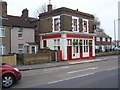
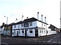
The Rose and Crown Pub, Dartford
43 West Hill Road.
Image: © David Anstiss
Taken: 15 Feb 2009
0.02 miles
4
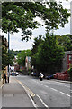
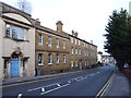
West Hill, Dartford - Looking East
Towards the town centre and the inner ring-road.
West Hill forms part of what was the Roman Road, Watling Street, running from S.E. London to Canterbury and Dover.
Image: © Brian Chadwick
Taken: 11 Aug 2010
0.05 miles
5
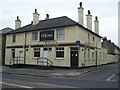
Oddfellows Pub, Dartford
On junction of West Hill (in front) and Tower Road (on right).
Image: © David Anstiss
Taken: 15 Feb 2009
0.05 miles
6
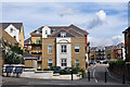
New Housing Development - West Hill, Dartford
Constance Road leading into a new housing development on the site of the former 'West Hill' Hospital which had been developed on the site of the former Workhouse.
Image: © Brian Chadwick
Taken: 11 Aug 2010
0.06 miles