IMAGES TAKEN NEAR TO
The Warren, GRAVESEND, DA12 4DA
Introduction
This page details the photographs taken nearby to The Warren, DA12 4DA by members of the Geograph project.
The Geograph project started in 2005 with the aim of publishing, organising and preserving representative images for every square kilometre of Great Britain, Ireland and the Isle of Man.

There are currently over 7.5m images from over14,400 individuals and you can help contribute to the project by visiting https://www.geograph.org.uk
Image Map
Images are licensed for reuse under creativecommons.org/licenses/by-sa/2.0
Notes
- Clicking on the map will re-center to the selected point.
- The higher the marker number, the further away the image location is from the centre of the postcode.
Image Listing (17 Images Found)
Images are licensed for reuse under creativecommons.org/licenses/by-sa/2.0
Image
Details
Distance
2
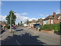
Riverview Park, Gravesend
Like the countryside to the south, this part of Gravesend around Valley Drive is a series of ridges and valleys. From the tops of many of the hills there are fine views. This view looks across the houses in The Warren towards the Thames.
Image: © Marathon
Taken: 13 Sep 2011
0.06 miles
4
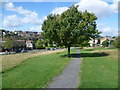
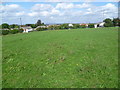
Riverview Park, Gravesend
Like the countryside to the south, this part of Gravesend around Valley Drive is a series of ridges and valleys. This view looks down from Riverview Park, across Valley Drive at the bottom and up to the Parrock Farm estate on the other side of the valley.
Image: © Marathon
Taken: 13 Sep 2011
0.08 miles
5
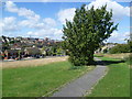
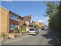
Riverview Park, Gravesend
Like the countryside to the south, this part of Gravesend around Valley Drive is a series of ridges and valleys. This view looks down from Riverview Park, across Valley Drive at the bottom and up to the Parrock Farm estate on the other side of the valley.
Image: © Marathon
Taken: 13 Sep 2011
0.09 miles
6
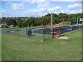
Playground at Riverview Park, Gravesend
Like the countryside to the south, this part of Gravesend around Valley Drive is a series of ridges and valleys. This view looks down from the playground towards the top of Riverview Park, across Valley Drive at the bottom and up to the other side of the valley.
Image: © Marathon
Taken: 13 Sep 2011
0.13 miles
7
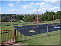
Playground at Riverview Park, Gravesend
Like the countryside to the south, this part of Gravesend around Valley Drive is a series of ridges and valleys. This view looks down from the playground towards the top of Riverview Park, across Valley Drive at the bottom and up to the other side of the valley.
Image: © Marathon
Taken: 13 Sep 2011
0.13 miles
8
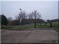
Riverview Recreation Ground
Entrance from Dobson Road. A path heads diagonally downhill to Valley Drive near local post office and other shops.
Image: © David Anstiss
Taken: 31 Dec 2008
0.16 miles
9
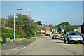
Livingstone Road
All of the houses on this estate have rear access, so the road is reasonably clear, but in the nature of things, many prefer to have their car out front.
Image: © Robin Webster
Taken: 25 Sep 2011
0.16 miles