IMAGES TAKEN NEAR TO
St. Marks Avenue, GRAVESEND, DA11 9LN
Introduction
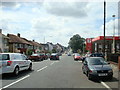
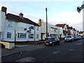
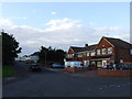
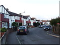
This page details the photographs taken nearby to St. Marks Avenue, DA11 9LN by members of the Geograph project.
The Geograph project started in 2005 with the aim of publishing, organising and preserving representative images for every square kilometre of Great Britain, Ireland and the Isle of Man.

There are currently over 7.5m images from over14,400 individuals and you can help contribute to the project by visiting https://www.geograph.org.uk
Image Map
Images are licensed for reuse under creativecommons.org/licenses/by-sa/2.0
Notes
- Clicking on the map will re-center to the selected point.
- The higher the marker number, the further away the image location is from the centre of the postcode.
Image Listing (63 Images Found)
Images are licensed for reuse under creativecommons.org/licenses/by-sa/2.0
Image
Details
Distance
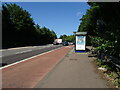

9

Open Day at Northfleet bus garage
This was held to commemorate the 80th anniversary of the opening of the garage by London Transport in 1937. Background details will be found in Geograph Image
Image: © David Kemp
Taken: 8 Jul 2017
0.09 miles