IMAGES TAKEN NEAR TO
Waterside, GRAVESEND, DA11 9FA
Introduction
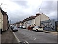
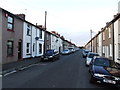
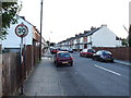
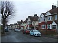
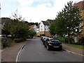
This page details the photographs taken nearby to Waterside, DA11 9FA by members of the Geograph project.
The Geograph project started in 2005 with the aim of publishing, organising and preserving representative images for every square kilometre of Great Britain, Ireland and the Isle of Man.

There are currently over 7.5m images from over14,400 individuals and you can help contribute to the project by visiting https://www.geograph.org.uk
Image Map
Images are licensed for reuse under creativecommons.org/licenses/by-sa/2.0
Notes
- Clicking on the map will re-center to the selected point.
- The higher the marker number, the further away the image location is from the centre of the postcode.
Image Listing (47 Images Found)
Images are licensed for reuse under creativecommons.org/licenses/by-sa/2.0
Image
Details
Distance
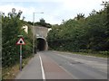
3
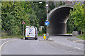
Rosherville Way goes under the London Road ( B2175 )
A very necessary road, cut through chalk, giving additional access to the Rosherville industrial area once dominated by the cement, paper and electrical industries.
Image: © Brian Chadwick
Taken: 13 Jul 2012
0.06 miles