IMAGES TAKEN NEAR TO
Cotswold Road, GRAVESEND, DA11 8NP
Introduction
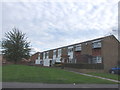
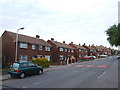
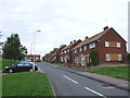
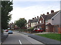
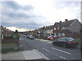
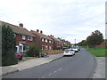
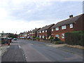
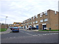
This page details the photographs taken nearby to Cotswold Road, DA11 8NP by members of the Geograph project.
The Geograph project started in 2005 with the aim of publishing, organising and preserving representative images for every square kilometre of Great Britain, Ireland and the Isle of Man.

There are currently over 7.5m images from over14,400 individuals and you can help contribute to the project by visiting https://www.geograph.org.uk
Image Map
Images are licensed for reuse under creativecommons.org/licenses/by-sa/2.0
Notes
- Clicking on the map will re-center to the selected point.
- The higher the marker number, the further away the image location is from the centre of the postcode.
Image Listing (21 Images Found)
Images are licensed for reuse under creativecommons.org/licenses/by-sa/2.0
Image
Details
Distance
9
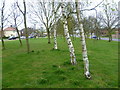
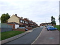
Green alongside Coldharbour Road, Gravesend
This linear green is located between the busy Coldharbour Road and Snelling Avenue on the way from Northfleet to the A2. In this view, Snelling Avenue is on the left and Coldharbour Road is on the right.
Image: © Marathon
Taken: 5 Apr 2012
0.17 miles