IMAGES TAKEN NEAR TO
Saxon Close, GRAVESEND, DA11 8HA
Introduction
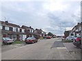
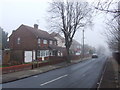
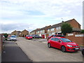
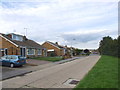
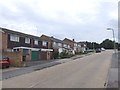
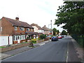
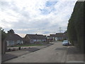
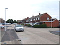
This page details the photographs taken nearby to Saxon Close, DA11 8HA by members of the Geograph project.
The Geograph project started in 2005 with the aim of publishing, organising and preserving representative images for every square kilometre of Great Britain, Ireland and the Isle of Man.

There are currently over 7.5m images from over14,400 individuals and you can help contribute to the project by visiting https://www.geograph.org.uk
Image Map
Images are licensed for reuse under creativecommons.org/licenses/by-sa/2.0
Notes
- Clicking on the map will re-center to the selected point.
- The higher the marker number, the further away the image location is from the centre of the postcode.
Image Listing (30 Images Found)
Images are licensed for reuse under creativecommons.org/licenses/by-sa/2.0
Image
Details
Distance
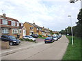
8
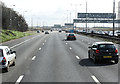
The A2 near Pepper Hill
Travelling east with the slip road from the B262 joining on the left. Traffic on the westbound carriageway was stationary due to attendance by emergency vehicles to an accident.
Image: © Martin Addison
Taken: 21 Mar 2015
0.11 miles