
IMAGES TAKEN NEAR TO
Mansion Rise, SWANSCOMBE, DA10 1BE
Introduction
This page details the photographs taken nearby to Mansion Rise, DA10 1BE by members of the Geograph project.
The Geograph project started in 2005 with the aim of publishing, organising and preserving representative images for every square kilometre of Great Britain, Ireland and the Isle of Man.

There are currently over 7.5m images from over14,400 individuals and you can help contribute to the project by visiting https://www.geograph.org.uk
Image Map
Images are licensed for reuse under creativecommons.org/licenses/by-sa/2.0
Notes
- Clicking on the map will re-center to the selected point.
- The higher the marker number, the further away the image location is from the centre of the postcode.
Image Listing (18 Images Found)
Images are licensed for reuse under creativecommons.org/licenses/by-sa/2.0
Image
Details
Distance
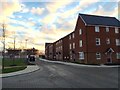
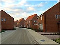
3
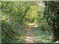
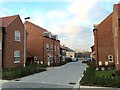
Public footpath towards Southfleet Road
This runs along the course of a former conveyor belt from chalk pit to cement works, and is very straight here.
Image: © Robin Webster
Taken: 25 Sep 2011
0.10 miles
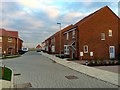
6
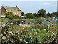
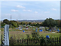
Allotments, Swanscombe
As befits the Garden of England, even the blackberries along the fenceline were particularly large and succulent.
Image: © Robin Webster
Taken: 25 Sep 2011
0.12 miles
8
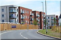
New development at Castle Hill, Ebbsfleet
Image: © David Martin
Taken: 22 Jul 2018
0.15 miles
9
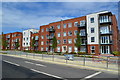
New apartments at Castle Hill, Ebbsfleet
Image: © David Martin
Taken: 22 Jul 2018
0.15 miles
10
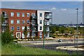
New development at Castle Hill, Ebbsfleet
Image: © David Martin
Taken: 22 Jul 2018
0.16 miles