
IMAGES TAKEN NEAR TO
Dunlin Way, WINSFORD, CW7 4FG
Introduction
This page details the photographs taken nearby to Dunlin Way, CW7 4FG by members of the Geograph project.
The Geograph project started in 2005 with the aim of publishing, organising and preserving representative images for every square kilometre of Great Britain, Ireland and the Isle of Man.

There are currently over 7.5m images from over14,400 individuals and you can help contribute to the project by visiting https://www.geograph.org.uk
Image Map
Images are licensed for reuse under creativecommons.org/licenses/by-sa/2.0
Notes
- Clicking on the map will re-center to the selected point.
- The higher the marker number, the further away the image location is from the centre of the postcode.
Image Listing (14 Images Found)
Images are licensed for reuse under creativecommons.org/licenses/by-sa/2.0
Image
Details
Distance
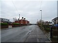
2
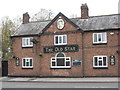
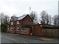
The Old Star public house
Evidently it was a horse.
Image: © Dr Duncan Pepper
Taken: 15 Nov 2011
0.10 miles
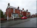
4
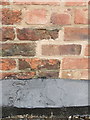
Bench mark on the Old Star public house, Over, Winsford
This Ordnance Survey bench mark is on the right hand edge of the old pub where the newer porch is joined on. See also Image
Image: © John S Turner
Taken: 16 Jun 2017
0.10 miles
6
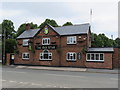
The Old Star public house, Over Winsford
Looking across Swanlow Lane towards The Old Star public house. There is an Ordnance Survey bench mark on the right hand edge of the old pub where the newer porch is attached - Image
Image: © John S Turner
Taken: 16 Jun 2017
0.11 miles
7
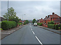
Gladstone Street, Winsford
Looking northeast down Gladstone Street towards the Weaver Valley. The housing here is ex-local authority stock probably built just after the second World War.
Image: © michael ely
Taken: 27 Jun 2006
0.12 miles
9
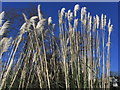
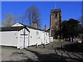
Pampas grass, St Chad's Churchyard, Winsford
Image: © Colin Park
Taken: 3 Feb 2015
0.15 miles
10
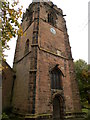
St Chad's Church Tower, Winsford
Churchyard is a shady spot under the trees.
Image
Image: © Chris Cursley
Taken: 28 Oct 2016
0.15 miles