IMAGES TAKEN NEAR TO
Philip Taylor Drive, CREWE, CW1 4GU
Introduction
This page details the photographs taken nearby to Philip Taylor Drive, CW1 4GU by members of the Geograph project.
The Geograph project started in 2005 with the aim of publishing, organising and preserving representative images for every square kilometre of Great Britain, Ireland and the Isle of Man.

There are currently over 7.5m images from over14,400 individuals and you can help contribute to the project by visiting https://www.geograph.org.uk
Image Map
Images are licensed for reuse under creativecommons.org/licenses/by-sa/2.0
Notes
- Clicking on the map will re-center to the selected point.
- The higher the marker number, the further away the image location is from the centre of the postcode.
Image Listing (5 Images Found)
Images are licensed for reuse under creativecommons.org/licenses/by-sa/2.0
Image
Details
Distance
2
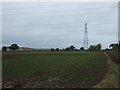
Young crop field and pylon
Off Flowers Lane.
Image: © JThomas
Taken: 29 Oct 2016
0.18 miles
3
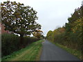
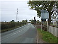
Looking north on Moss Lane
New housing appearing on the left.
Image: © JThomas
Taken: 29 Oct 2016
0.20 miles
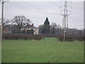
5

Fields by Minshull New Road
Looking SW from near the roundabout at the top of Minshull New Road, where it meets the B5076 at Barrows Green.
Image: © David P Howard
Taken: 11 May 2012
0.25 miles